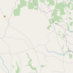
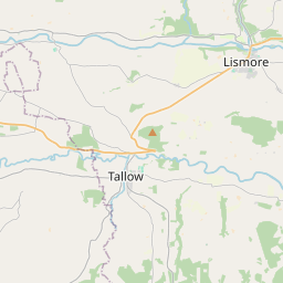
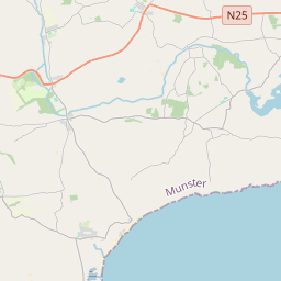
Based on data in OpenStreetMap, here is a list of townlands in the Electoral Division / ED / District Electoral Division of Kilberrihert.
Kilberrihert est dans le Comté
Kilberrihert is not matched up to Logainm.ie yet.
Carte
Il est situé à 51° 58' 21" N, 8° 54' 23" W.


Leaflet | Map data © OpenStreetMap contributors
Superficie
Kilberrihert a une superficie de 51,5 km² / 12,724,1 acres / 19,9 miles carrés.
Townlands
Il y a 22 townlands connus dans , soit 100% de la superficie de .
- Aughinida 255 A, 1 R, 15 P
- Ballynagree East 1330 A, 0 R, 39 P
- Ballynagree West 1346 A, 1 R, 23 P
- Ballyvongane 237 A, 2 R, 13 P
- Caherbaroul 426 A, 3 R, 19 P
- Carrigagulla 2292 A, 1 R, 7 P
- Carriganish 435 A, 2 R, 4 P
- Carrigthomas 347 A, 2 R, 32 P
- Clonavrick 312 A, 0 R, 31 P
- Coolgarriff 492 A, 3 R, 37 P
- Curraghawaddra 398 A, 2 R, 1 P
- Deelish 340 A, 1 R, 3 P
- Derryroe 500 A, 2 R, 37 P
- Dooneens 777 A, 1 R, 22 P
- Dromacullen 206 A, 0 R, 39 P
- Kilberrihert 941 A, 1 R, 37 P
- Knockglass 291 A, 1 R, 26 P
- Lacknahaghny 372 A, 0 R, 20 P
- Laharankeal 184 A, 0 R, 34 P
- Leadawillin 455 A, 3 R, 3 P
- Lyroe 491 A, 0 R, 3 P
- Rusheen 287 A, 3 R, 1 P
 OpenStreetMap
Kilberrihert a été ajouté à OpenStreetMap le 21 Jan 2017 par Teester.
- View
- Edit

 JOSM
JOSM iD
iD