Based on data in OpenStreetMap, here is a list of townlands in the Electoral Division / ED / District Electoral Division of Kilbrin.
Kilbrin est dans le Comté
Kilbrin is not matched up to Logainm.ie yet.
Carte
Il est situé à 52° 13' 36" N, 8° 50' 57" W.
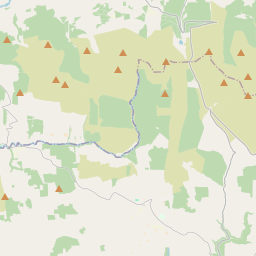
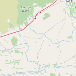
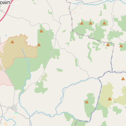
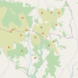
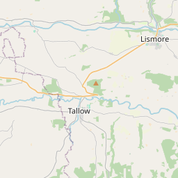
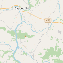
Leaflet | Map data © OpenStreetMap contributors
Superficie
Kilbrin a une superficie de 18,2 km² / 4,505,5 acres / 7,0 miles carrés.
Townlands
Il y a 13 townlands connus dans , soit 100% de la superficie de .
- Ballybane 487 A, 1 R, 18 P
- Cloghboola 421 A, 2 R, 22 P
- Coolmahane 197 A, 2 R, 29 P
- Coolnahilla 135 A, 1 R, 28 P
- Curraghs 486 A, 1 R, 39 P
- Drominagore 404 A, 3 R, 37 P
- Garranmacgarrett 321 A, 1 R, 18 P
- Garrison 450 A, 1 R, 25 P
- Knockagolig 533 A, 3 R, 5 P
- Knockalohert 313 A, 3 R, 39 P
- Knockardfree 374 A, 3 R, 35 P
- Mahanagh 135 A, 1 R, 23 P
- Rathnagard 241 A, 3 R, 33 P
 OpenStreetMap
Kilbrin a été ajouté à OpenStreetMap le 26 Jan 2017 par Teester.
- View
- Edit