Based on data in OpenStreetMap, here is a list of townlands in the Electoral Division / ED / District Electoral Division of Knocknagree.
Knocknagree est dans le Comté
Knocknagree is not matched up to Logainm.ie yet.
Carte
Il est situé à 52° 7' 1" N, 9° 11' 43" W.
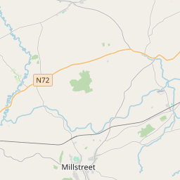
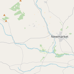
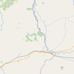
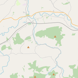
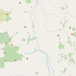
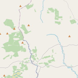
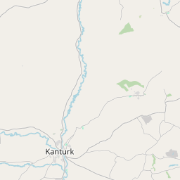
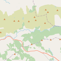
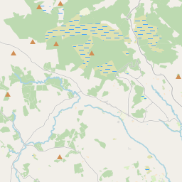
Leaflet | Map data © OpenStreetMap contributors
Superficie
Knocknagree a une superficie de 26,1 km² / 6,458,9 acres / 10,1 miles carrés.
Townlands
Il y a 15 townlands connus dans , soit 100% de la superficie de .
- Carrigaline 379 A, 3 R, 18 P
- Farrankeal 411 A, 0 R, 27 P
- Knocknagree 448 A, 2 R, 5 P
- Knockyhena 594 A, 3 R, 10 P
- Lackanastooka 426 A, 1 R, 5 P
- Laghtsigh 443 A, 0 R, 15 P
- Lyredaowen 485 A, 0 R, 10 P
- Mountinfant 315 A, 2 R, 22 P
- Nohavaldaly 956 A, 2 R, 26 P
- Nohaval Lower 413 A, 2 R, 8 P
- Nohaval Upper 475 A, 2 R, 23 P
- Park 233 A, 3 R, 29 P
- Scrahan 301 A, 3 R, 27 P
- Shanbally 428 A, 2 R, 4 P
- Tooreenreaghy 144 A, 0 R, 31 P
 OpenStreetMap
Knocknagree a été ajouté à OpenStreetMap le 21 Jan 2017 par Teester.
- View
- Edit