Based on data in OpenStreetMap, here is a list of townlands in the Electoral Division / ED / District Electoral Division of Leighmoney.
Leighmoney est dans le Comté
Leighmoney is not matched up to Logainm.ie yet.
Carte
Il est situé à 51° 44' 40" N, 8° 35' 32" W.
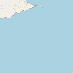
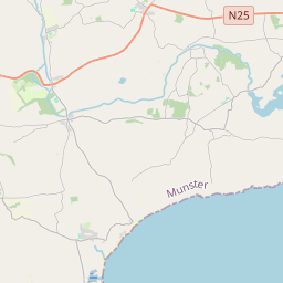
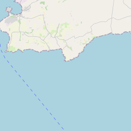


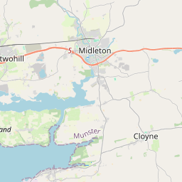
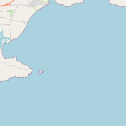
Leaflet | Map data © OpenStreetMap contributors
Superficie
Leighmoney a une superficie de 20,2 km² / 4,979,9 acres / 7,8 miles carrés.
Townlands
Il y a 22 townlands connus dans , soit 97,8% de la superficie de .
- Ballydonaghy 223 A, 2 R, 34 P
- Ballynamaul 281 A, 3 R, 9 P
- Ballyregan Beg 187 A, 3 R, 17 P
- Ballyregan More 435 A, 1 R, 22 P
- Carhoo North 161 A, 0 R, 19 P
- Carhoo South 174 A, 1 R, 24 P
- Clogheen 249 A, 0 R, 30 P
- Derrynagasha 426 A, 2 R, 34 P
- Horsehill Beg 10 A, 3 R, 19 P
- Horsehill More (North) 344 A, 0 R, 13 P
- Horsehill More (South) 19 A, 1 R, 3 P
- Knocksmall 97 A, 2 R, 7 P
- Lahern 77 A, 3 R, 36 P
- Leighmoney Beg 142 A, 1 R, 4 P
- Leighmoney More 352 A, 0 R, 16 P
- Lissard 204 A, 1 R, 3 P
- Lissheeda 226 A, 1 R, 20 P
- Puckane 120 A, 0 R, 26 P
- Shanavally 176 A, 1 R, 38 P
- Ship-Pool 235 A, 3 R, 10 P
- Skanagore 264 A, 1 R, 3 P
- Slievegallane 460 A, 2 R, 19 P
 OpenStreetMap
Leighmoney a été ajouté à OpenStreetMap le 28 Jan 2017 par Teester.
- View
- Edit