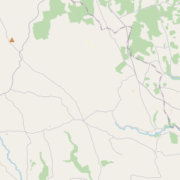
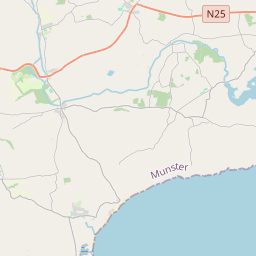
Based on data in OpenStreetMap, here is a list of townlands in the Electoral Division / ED / District Electoral Division of Rathcooney.
Rathcooney est dans le Comté
Rathcooney is not matched up to Logainm.ie yet.
Carte
Il est situé à 51° 56' 31" N, 8° 26' 30" W.


Leaflet | Map data © OpenStreetMap contributors
Superficie
Rathcooney a une superficie de 32,1 km² / 7,941,6 acres / 12,4 miles carrés.
Townlands
Il y a 24 townlands connus dans , soit 100% de la superficie de .
- Arderrow 140 A, 3 R, 28 P
- Ballincrokig 171 A, 1 R, 38 P
- Ballincrossig 244 A, 3 R, 25 P
- Ballinvriskig 691 A, 1 R, 14 P
- Ballyharoon 149 A, 2 R, 31 P
- Ballynahina 738 A, 2 R, 6 P
- Ballynoe 298 A, 0 R, 37 P
- Ballyphilip 312 A, 0 R, 23 P
- Banduff 294 A, 3 R, 32 P
- Coole East 504 A, 1 R, 33 P
- Coole West 549 A, 1 R, 14 P
- Garraneboy 200 A, 2 R, 30 P
- Kilcully 324 A, 2 R, 26 P
- Killeendaniel 320 A, 2 R, 2 P
- Knocknahorgan 500 A, 1 R, 15 P
- Lahardane 207 A, 2 R, 30 P
- Lisnahorna 192 A, 0 R, 29 P
- Lota Beg 215 A, 2 R, 28 P
- Lota More 550 A, 0 R, 17 P
- Piercetown 309 A, 3 R, 20 P
- Poulacurry North 175 A, 3 R, 19 P
- Poulacurry South 240 A, 1 R, 22 P
- Rahanisky 378 A, 0 R, 3 P
- Rathcooney 229 A, 2 R, 3 P
 OpenStreetMap
Rathcooney a été ajouté à OpenStreetMap le 24 Mar 2021 par b-unicycling.
- View
- Edit

 JOSM
JOSM iD
iD