Based on data in OpenStreetMap, here is a list of townlands in the Electoral Division / ED / District Electoral Division of Templeomalus.
Templeomalus est dans le Comté
Templeomalus is not matched up to Logainm.ie yet.
Carte
Il est situé à 51° 36' 52" N, 8° 49' 43" W.
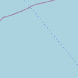

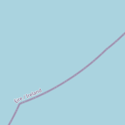


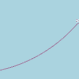

Leaflet | Map data © OpenStreetMap contributors
Superficie
Templeomalus a une superficie de 18,0 km² / 4,448,8 acres / 7,0 miles carrés.
Townlands
Il y a 26 townlands connus dans , soit 99,2% de la superficie de .
- Ahidelake 94 A, 1 R, 25 P
- Arundelmills 8 A, 3 R, 6 P
- Ashgrove 179 A, 1 R, 32 P
- Ballincourcey 195 A, 3 R, 20 P
- Ballinglanna 120 A, 2 R, 27 P
- Ballintemple 268 A, 3 R, 32 P
- Ballymacwilliam East 102 A, 2 R, 38 P
- Ballymacwilliam South 18 A, 1 R, 2 P
- Ballymacwilliam West 71 A, 1 R, 39 P
- Cahergal 89 A, 3 R, 0 P
- Carhoogarriff 283 A, 0 R, 5 P
- Cloghgriffin 286 A, 1 R, 16 P
- Councambeg 133 A, 3 R, 37 P
- Cruary East 189 A, 0 R, 6 P
- Cruary West 153 A, 2 R, 34 P
- Curraghgrane Beg 67 A, 0 R, 37 P
- Curraghgrane More 112 A, 0 R, 2 P
- Darrary 353 A, 2 R, 36 P
- Donaghmore 327 A, 3 R, 0 P
- Farran 80 A, 2 R, 4 P
- Lackenduff 250 A, 0 R, 26 P
- Maulmacredmond 389 A, 2 R, 31 P
- Maulmore 104 A, 2 R, 35 P
- Rocksavage 181 A, 2 R, 26 P
- South-ring 265 A, 2 R, 6 P
- Trieneens 81 A, 2 R, 13 P
 OpenStreetMap
Templeomalus a été ajouté à OpenStreetMap le 20 Jan 2017 par Teester.
- View
- Edit