Based on data in OpenStreetMap, here is a list of townlands in the Electoral Division / ED / District Electoral Division of Tullagh.
Nous ne savons pas à quel comté appartiens Tullagh.
Tullagh is not matched up to Logainm.ie yet.
Carte
Il est situé à 51° 29' 26" N, 9° 20' 17" W.

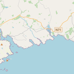
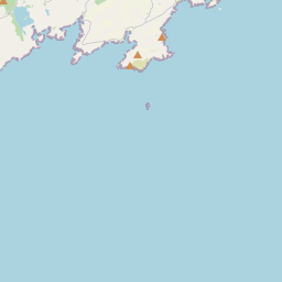


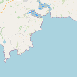


Leaflet | Map data © OpenStreetMap contributors
Superficie
Tullagh a une superficie de 18,9 km² / 4,675,7 acres / 7,3 miles carrés.
Townlands
Il y a 15 townlands connus dans , soit 92,2% de la superficie de .
- Ardagh North 157 A, 2 R, 28 P
- Ardagh South 67 A, 3 R, 7 P
- Ballinard 233 A, 3 R, 12 P
- Ballylinchy 811 A, 2 R, 17 P
- Ballymacrown 669 A, 2 R, 30 P
- Baltimore 635 A, 2 R, 37 P
- Barnabah 47 A, 0 R, 15 P
- Coomavarrodig 79 A, 3 R, 28 P
- Glannafeen 273 A, 1 R, 30 P
- Knockanoulty 72 A, 1 R, 27 P
- Knockaphreaghane 96 A, 3 R, 21 P
- Knockeencon 109 A, 2 R, 15 P
- Lackaghane 182 A, 2 R, 32 P
- Pookeen 159 A, 3 R, 33 P
- Rathmore 713 A, 0 R, 24 P
 OpenStreetMap
Tullagh a été ajouté à OpenStreetMap le 14 Jan 2017 par Teester.
- View
- Edit