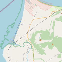
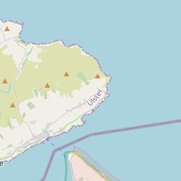
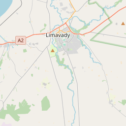
Based on data in OpenStreetMap, here is a list of townlands in the Electoral Division / ED / District Electoral Division of Millford.
Millford est dans le Comté
Millford is not matched up to Logainm.ie yet.
Carte
Il est situé à 55° 5' 49" N, 7° 42' 13" W.


Leaflet | Map data © OpenStreetMap contributors
Superficie
Millford a une superficie de 29,1 km² / 7,195,3 acres / 11,2 miles carrés.
Townlands
Il y a 27 townlands connus dans , soit 100% de la superficie de .
- Aghanursan 119 A, 2 R, 19 P
- Carrickbressil 249 A, 0 R, 26 P
- Claggan 136 A, 3 R, 37 P
- Cranberry Island 0 A, 3 R, 21 P
- Cratlagh 1051 A, 1 R, 6 P
- Cratlagh Island 4 A, 1 R, 32 P
- Drumbern 168 A, 0 R, 26 P
- Forquar 447 A, 3 R, 21 P
- Garrygort 652 A, 1 R, 3 P
- Garrymore 162 A, 3 R, 4 P
- Glasnant 81 A, 3 R, 26 P
- Glenkeen 156 A, 1 R, 30 P
- Golan 1217 A, 1 R, 4 P
- Gortmacall Beg 329 A, 1 R, 14 P
- Gortnavern 731 A, 0 R, 21 P
- Gortnmacall More 410 A, 1 R, 15 P
- Green Island 0 A, 1 R, 16 P
- Hewitson's Island 0 A, 2 R, 12 P
- Kilwarry 90 A, 2 R, 2 P
- Long Island 2 A, 0 R, 29 P
- Millford 233 A, 2 R, 15 P
- Rossgarrow 254 A, 0 R, 22 P
- Rough Island 6 A, 2 R, 23 P
- Stick Isle 0 A, 0 R, 33 P
- Tirhomin 581 A, 3 R, 0 P
- Toomoge Island 0 A, 1 R, 20 P
- Urbalshinny 105 A, 0 R, 4 P
 OpenStreetMap
Millford a été ajouté à OpenStreetMap le 11 Fév 2017 par Boggedy.
- View
- Edit

 JOSM
JOSM iD
iD