Based on data in OpenStreetMap, here is a list of townlands in the Electoral Division / ED / District Electoral Division of Doagh.
Doagh est dans le Comté
Doagh is not matched up to Logainm.ie yet.
Carte
Il est situé à 54° 24' 38" N, 7° 52' 21" W.
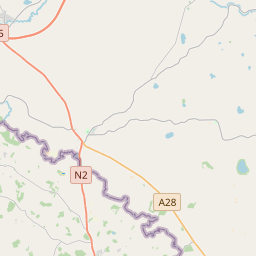
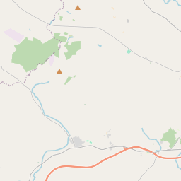
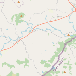
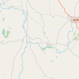
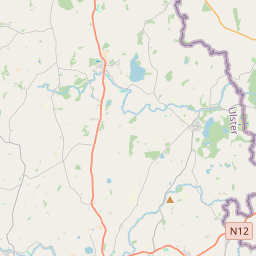
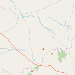
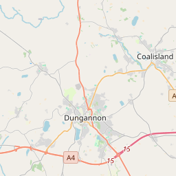
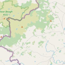
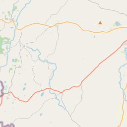
Leaflet | Map data © OpenStreetMap contributors
Superficie
Doagh a une superficie de 17,4 km² / 4,296,5 acres / 6,7 miles carrés.
Townlands
Il y a 15 townlands connus dans , soit 100% de la superficie de .
- Buggan 196 A, 0 R, 17 P
- Doagh Glebe 594 A, 0 R, 10 P
- Dromore 167 A, 1 R, 23 P
- Drumanure 381 A, 3 R, 30 P
- Drumary 164 A, 1 R, 9 P
- Drumnanane 93 A, 0 R, 31 P
- Keadew 116 A, 3 R, 38 P
- Kilduff 99 A, 3 R, 19 P
- Kilgarrow 142 A, 1 R, 8 P
- Rossinure Beg 890 A, 1 R, 31 P
- Sandhill 254 A, 2 R, 26 P
- Sraniff 197 A, 3 R, 24 P
- Stratonagher 549 A, 2 R, 28 P
- Stratore 340 A, 1 R, 10 P
- Tullycarbry 107 A, 1 R, 6 P
 OpenStreetMap
Doagh a été ajouté à OpenStreetMap le 25 Mar 2021 par b-unicycling.
- View
- Edit