Based on data in OpenStreetMap, here is a list of townlands in the Electoral Division / ED / District Electoral Division of Gardenhill.
Gardenhill est dans le Comté
Gardenhill is not matched up to Logainm.ie yet.
Carte
Il est situé à 54° 19' 5" N, 7° 51' 43" W.
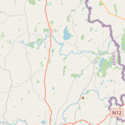
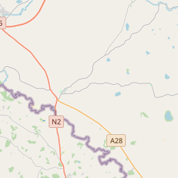
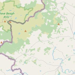
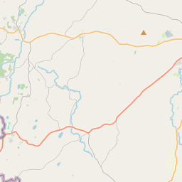
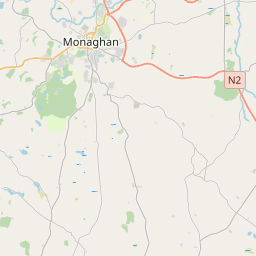
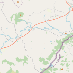
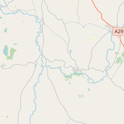
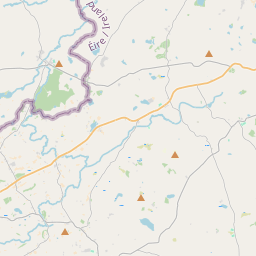
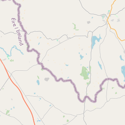
Leaflet | Map data © OpenStreetMap contributors
Superficie
Gardenhill a une superficie de 16,4 km² / 4,056,0 acres / 6,3 miles carrés.
Townlands
Il y a 17 townlands connus dans , soit 100% de la superficie de .
- Aughrim 208 A, 1 R, 30 P
- Carrickaloughan 75 A, 3 R, 13 P
- Carrickmacflaherty 114 A, 3 R, 39 P
- Carrontreemall 191 A, 3 R, 19 P
- Carrownalegg 42 A, 3 R, 22 P
- Creenagho 130 A, 2 R, 25 P
- Crottan 191 A, 2 R, 38 P
- Drumman 293 A, 0 R, 36 P
- Gardenhill 464 A, 2 R, 35 P
- Gortnaderg 78 A, 3 R, 7 P
- Killycreen East 360 A, 2 R, 28 P
- Killycreen West 695 A, 1 R, 26 P
- Kiltyfelan 90 A, 3 R, 25 P
- Mullylusty 386 A, 3 R, 18 P
- Ora Beg 120 A, 2 R, 12 P
- Templenaffrin 161 A, 2 R, 2 P
- Tullybrack or Ora More 446 A, 3 R, 11 P
 OpenStreetMap
Gardenhill a été ajouté à OpenStreetMap le 25 Mar 2021 par b-unicycling.
- View
- Edit