Based on data in OpenStreetMap, here is a list of townlands in the Electoral Division / ED / District Electoral Division of Árainn.
Árainn est dans le Comté
Árainn is not matched up to Logainm.ie yet.
Carte
Il est situé à 53° 6' 32" N, 9° 40' 26" W.
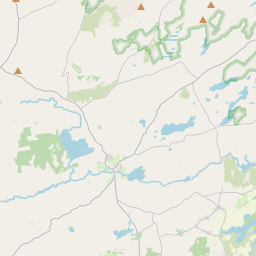

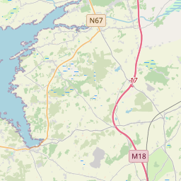
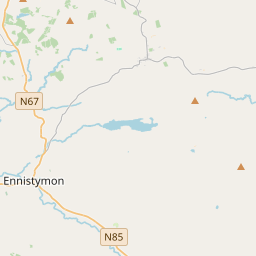
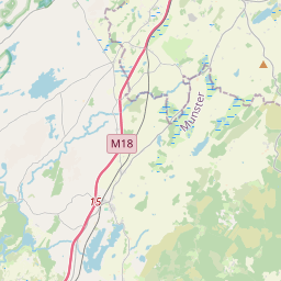
Leaflet | Map data © OpenStreetMap contributors
Superficie
Árainn a une superficie de 49,7 km² / 12,290,2 acres / 19,2 miles carrés.
Townlands
Il y a 12 townlands connus dans , soit 100% de la superficie de .
- Brannock Island 94 A, 3 R, 33 P
- Brannock Island East 6 A, 0 R, 24 P
- Brannock Island Middle 9 A, 1 R, 18 P
- Brannock Island South 7 A, 3 R, 38 P
- Carrownlisheen 1209 A, 3 R, 0 P
- Carrowntemple 1222 A, 0 R, 14 P
- Inis Oírr 1536 A, 1 R, 22 P
- Killeany 2501 A, 2 R, 7 P
- Kilmurvy 1868 A, 2 R, 7 P
- Oghil 1874 A, 3 R, 5 P
- Onaght 1900 A, 1 R, 20 P
- Rock Island 58 A, 0 R, 38 P
 OpenStreetMap
Árainn a été ajouté à OpenStreetMap le 17 Fév 2014 par Boggedy.
- View
- Edit