Based on data in OpenStreetMap, here is a list of townlands in the Electoral Division / ED / District Electoral Division of Ballynakill.
Ballynakill est dans le Comté
Ballynakill is not matched up to Logainm.ie yet.
Carte
Il est situé à 53° 30' 11" N, 8° 28' 27" W.
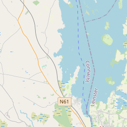
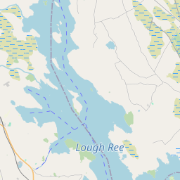
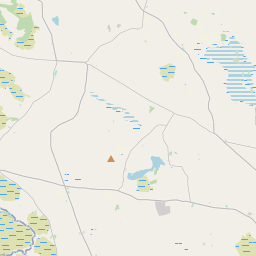
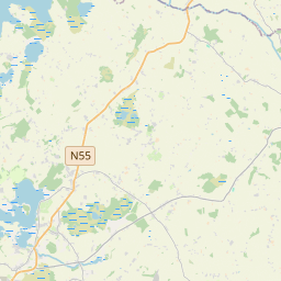
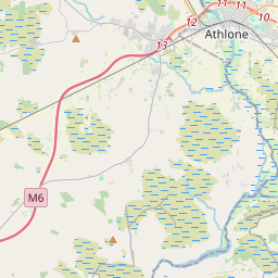
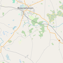
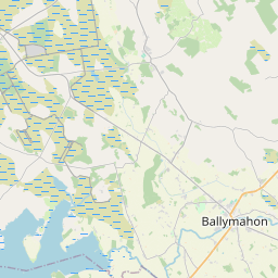
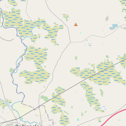
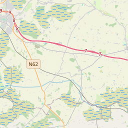
Leaflet | Map data © OpenStreetMap contributors
Superficie
Ballynakill a une superficie de 33,7 km² / 8,317,2 acres / 13,0 miles carrés.
Townlands
Il y a 20 townlands connus dans , soit 100% de la superficie de .
- Ballinlass 570 A, 0 R, 16 P
- Ballynalahy 248 A, 3 R, 8 P
- Boherbannagh 299 A, 3 R, 32 P
- Carrownagappul 1060 A, 1 R, 27 P
- Castlegar 801 A, 3 R, 29 P
- Cloghbrack 65 A, 3 R, 2 P
- Cloonavihony 455 A, 0 R, 28 P
- Gunnod 632 A, 0 R, 28 P
- Lahacrogher 125 A, 1 R, 37 P
- Longford 332 A, 1 R, 8 P
- Newbridge 200 A, 2 R, 2 P
- Newgrove 155 A, 1 R, 30 P
- Newvillage 136 A, 3 R, 17 P
- Rushestown 882 A, 2 R, 20 P
- Springlawn 1124 A, 2 R, 32 P
- Summerhill 226 A, 3 R, 26 P
- Toomard 254 A, 1 R, 14 P
- Tully 105 A, 3 R, 37 P
- Windfield 403 A, 2 R, 6 P
- Woodbrook 234 A, 0 R, 31 P
 OpenStreetMap
Ballynakill a été ajouté à OpenStreetMap le 18 Déc 2016 par Boggedy.
- View
- Edit