Based on data in OpenStreetMap, here is a list of townlands in the Electoral Division / ED / District Electoral Division of Dunmore South.
Dunmore South est dans le Comté
Dunmore South is not matched up to Logainm.ie yet.
Carte
Il est situé à 53° 36' 26" N, 8° 45' 48" W.
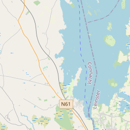
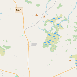
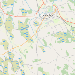
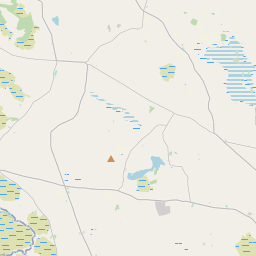
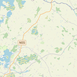
Leaflet | Map data © OpenStreetMap contributors
Superficie
Dunmore South a une superficie de 14,3 km² / 3,526,3 acres / 5,5 miles carrés.
Townlands
Il y a 22 townlands connus dans , soit 100% de la superficie de .
- Abbeyland South 23 A, 0 R, 22 P
- Addergoole More 337 A, 3 R, 23 P
- Ballagh East 107 A, 3 R, 35 P
- Ballagh West 44 A, 2 R, 0 P
- Ballymoney North 173 A, 0 R, 17 P
- Ballymoney South 259 A, 1 R, 10 P
- Baunoges South 23 A, 1 R, 24 P
- Breanra 138 A, 1 R, 38 P
- Cloonagh 448 A, 3 R, 7 P
- Clooneen 79 A, 0 R, 12 P
- Dunmore 141 A, 3 R, 35 P
- Dunmore Demesne 120 A, 2 R, 20 P
- Grange 175 A, 3 R, 14 P
- Knockaunnagat 220 A, 3 R, 35 P
- Lissybroder 380 A, 2 R, 3 P
- Menus 160 A, 0 R, 21 P
- Menus Park 99 A, 0 R, 12 P
- Mullaghmarkagh 65 A, 3 R, 6 P
- Paddock 79 A, 0 R, 9 P
- Pollaphuca 65 A, 2 R, 33 P
- Quarter 136 A, 3 R, 30 P
- Roy 243 A, 3 R, 39 P
 OpenStreetMap
Dunmore South a été ajouté à OpenStreetMap le 17 Déc 2016 par Boggedy.
- View
- Edit