Based on data in OpenStreetMap, here is a list of townlands in the Electoral Division / ED / District Electoral Division of Inishbofin.
Inishbofin est dans le Comté
Inishbofin est sur Logainm.ie: Inishbofin.
Carte
Il est situé à 53° 37' 6" N, 10° 13' 27" W.
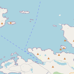
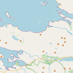
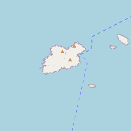
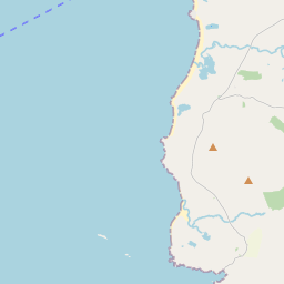
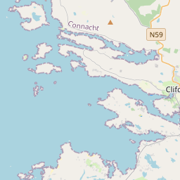
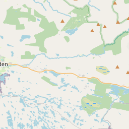
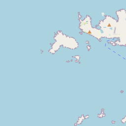
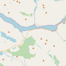

Leaflet | Map data © OpenStreetMap contributors
Superficie
Inishbofin a une superficie de 14,2 km² / 3,510,9 acres / 5,5 miles carrés.
Townlands
Il y a 18 townlands connus dans , soit 99,8% de la superficie de .
- Black Rock 4 A, 2 R, 25 P
- Carricknaheelia Island 2 A, 2 R, 31 P
- Cloonamore 686 A, 3 R, 13 P
- Davillaun 87 A, 2 R, 10 P
- Doonnahineena Island 2 A, 1 R, 17 P
- Fawnmore 209 A, 3 R, 11 P
- Inishgort 45 A, 0 R, 18 P
- Inishlyon 106 A, 3 R, 12 P
- Inishshark 678 A, 2 R, 36 P
- Inishskinnybeg 9 A, 2 R, 1 P
- Inishskinnymore 23 A, 1 R, 34 P
- Knock 394 A, 3 R, 36 P
- Middlequarter 617 A, 0 R, 26 P
- Moylanboy 2 A, 1 R, 3 P
- Ox Island 8 A, 0 R, 12 P
- Port Island 28 A, 1 R, 27 P
- Stags of Bofin 13 A, 0 R, 29 P
- Westquarter 581 A, 0 R, 21 P
 OpenStreetMap
Inishbofin a été ajouté à OpenStreetMap le 17 Fév 2014 par Boggedy.
- View
- Edit