Based on data in OpenStreetMap, here is a list of townlands in the Electoral Division / ED / District Electoral Division of Killimor.
Killimor est dans le Comté
Killimor is not matched up to Logainm.ie yet.
Carte
Il est situé à 53° 18' 56" N, 8° 34' 19" W.
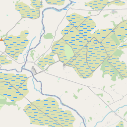
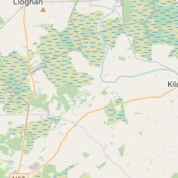
Leaflet | Map data © OpenStreetMap contributors
Superficie
Killimor a une superficie de 26,3 km² / 6,509,5 acres / 10,2 miles carrés.
Townlands
Il y a 13 townlands connus dans , soit 100% de la superficie de .
- Brackloon 834 A, 2 R, 13 P
- Caltraghbreedy 168 A, 1 R, 31 P
- Cappaghnanool 420 A, 1 R, 19 P
- Cappanasruhaun 677 A, 0 R, 8 P
- Clooncah 767 A, 3 R, 36 P
- Cloonsheecahill 715 A, 1 R, 5 P
- Dooghcloon 726 A, 0 R, 37 P
- Gortnalone South 277 A, 0 R, 23 P
- Killimor 741 A, 1 R, 22 P
- Knockroe 499 A, 3 R, 8 P
- Lenamore 199 A, 3 R, 29 P
- Lenareagh 127 A, 0 R, 15 P
- Lenareagh 354 A, 0 R, 22 P
 OpenStreetMap
Killimor a été ajouté à OpenStreetMap le 17 Nov 2016 par Boggedy.
- View
- Edit