Based on data in OpenStreetMap, here is a list of townlands in the Electoral Division / ED / District Electoral Division of Lackalea.
Lackalea est dans le Comté
Lackalea is not matched up to Logainm.ie yet.
Carte
Il est situé à 53° 14' 0" N, 8° 35' 4" W.
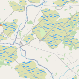
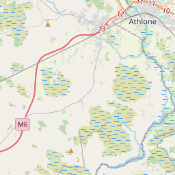
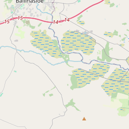
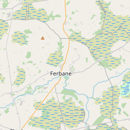
Leaflet | Map data © OpenStreetMap contributors
Superficie
Lackalea a une superficie de 12,4 km² / 3,065,9 acres / 4,8 miles carrés.
Townlands
Il y a 13 townlands connus dans , soit 100% de la superficie de .
- Ballybaun 220 A, 2 R, 37 P
- Bushfield 202 A, 2 R, 18 P
- Caherhenryhoe 467 A, 2 R, 9 P
- Cahernamona 57 A, 0 R, 0 P
- Cahernamuck East 237 A, 0 R, 22 P
- Cahernamuck West 115 A, 3 R, 28 P
- Cahertinny 273 A, 1 R, 19 P
- Coorbaun 82 A, 1 R, 0 P
- Curraghroe 99 A, 3 R, 27 P
- Kanargad 6 A, 1 R, 36 P
- Lackafinna South 323 A, 0 R, 1 P
- Lackalea 726 A, 0 R, 25 P
- Tooloobauntemple 253 A, 2 R, 36 P
 OpenStreetMap
Lackalea a été ajouté à OpenStreetMap le 16 Nov 2016 par Boggedy.
- View
- Edit