Based on data in OpenStreetMap, here is a list of townlands in the Electoral Division / ED / District Electoral Division of Taghboy.
Taghboy est dans le Comté
Taghboy is not matched up to Logainm.ie yet.
Carte
Il est situé à 53° 27' 8" N, 8° 17' 21" W.
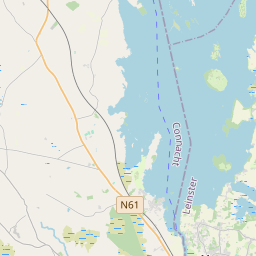
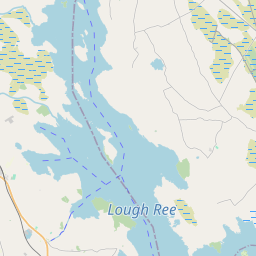
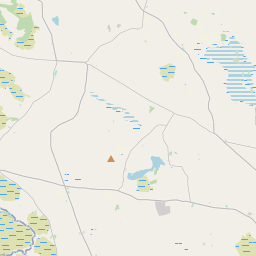
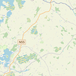
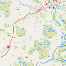
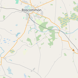
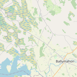
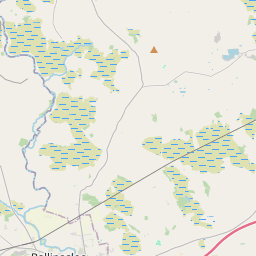
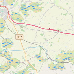
Leaflet | Map data © OpenStreetMap contributors
Superficie
Taghboy a une superficie de 27,4 km² / 6,781,4 acres / 10,6 miles carrés.
Townlands
Il y a 17 townlands connus dans , soit 100% de la superficie de .
- Acre East 154 A, 2 R, 24 P
- Acre West 11 A, 1 R, 19 P
- Boughil 435 A, 0 R, 4 P
- Caltraghduff 350 A, 1 R, 2 P
- Cloonshee 76 A, 3 R, 26 P
- Cloonshee (Dillon) 207 A, 1 R, 30 P
- Cloonshee (Kelly) 82 A, 2 R, 15 P
- Cloonshee (Rochfort) 522 A, 2 R, 1 P
- Cloonshee (Trench) 227 A, 0 R, 24 P
- Corracoolia 306 A, 1 R, 38 P
- Derreen 555 A, 0 R, 10 P
- Derryfadda 1739 A, 0 R, 9 P
- Gortananny 148 A, 1 R, 24 P
- Killaderry 591 A, 3 R, 17 P
- Muckloon 851 A, 3 R, 31 P
- Srahgarve 157 A, 2 R, 20 P
- Srahloughra 363 A, 0 R, 2 P
 OpenStreetMap
Taghboy a été ajouté à OpenStreetMap le 27 Nov 2016 par Boggedy.
- View
- Edit