Based on data in OpenStreetMap, here is a list of townlands in the Electoral Division / ED / District Electoral Division of Gullane.
Gullane est dans le Comté
Gullane is not matched up to Logainm.ie yet.
Carte
Il est situé à 52° 32' 35" N, 9° 37' 54" W.
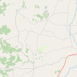
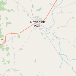
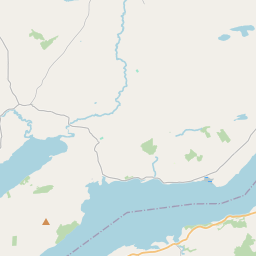
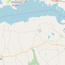
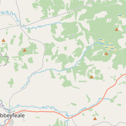
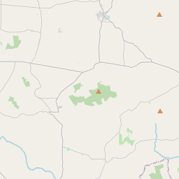
Leaflet | Map data © OpenStreetMap contributors
Superficie
Gullane a une superficie de 15,5 km² / 3,826,7 acres / 6,0 miles carrés.
Townlands
Il y a 14 townlands connus dans , soit 100% de la superficie de .
- Bromore East 215 A, 3 R, 24 P
- Bromore West 241 A, 1 R, 17 P
- Derra 497 A, 3 R, 17 P
- Drom 87 A, 3 R, 9 P
- Faha 268 A, 0 R, 3 P
- Gullane East 416 A, 2 R, 16 P
- Gullane Middle 143 A, 0 R, 7 P
- Gullane West 149 A, 3 R, 22 P
- Leansaghane 196 A, 2 R, 20 P
- Rahavanig 266 A, 0 R, 9 P
- Trippul East 276 A, 3 R, 0 P
- Trippul West 196 A, 2 R, 38 P
- Tulla Beg 209 A, 3 R, 23 P
- Tulla More 660 A, 0 R, 20 P
 OpenStreetMap
Gullane a été ajouté à OpenStreetMap le 7 Jan 2017 par Teester.
- View
- Edit