Based on data in OpenStreetMap, here is a list of townlands in the Electoral Division / ED / District Electoral Division of Galmoy.
Galmoy est dans le Comté
Galmoy is not matched up to Logainm.ie yet.
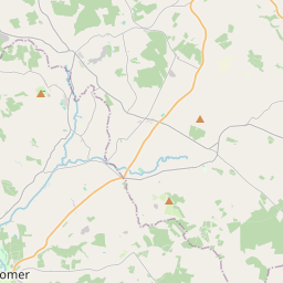
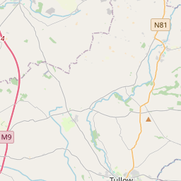
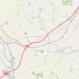
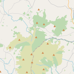
Carte
Il est situé à 52° 47' 38" N, 7° 35' 18" W.
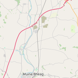
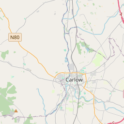

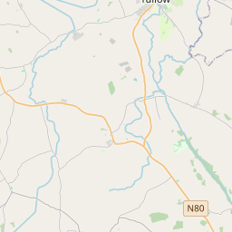
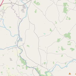
Leaflet | Map data © OpenStreetMap contributors
Superficie
Galmoy a une superficie de 26,3 km² / 6,509,5 acres / 10,2 miles carrés.
Townlands
Il y a 12 townlands connus dans , soit 100% de la superficie de .
- Baunballinlough 610 A, 1 R, 2 P
- Bayswell 620 A, 3 R, 35 P
- Castletown 859 A, 3 R, 31 P
- Cooloultha or Moneynamuck 462 A, 0 R, 38 P
- Garrylaun 245 A, 0 R, 25 P
- Moneynamuck (Stopford) 489 A, 2 R, 13 P
- Rathbane 476 A, 1 R, 15 P
- Rathpatrick 984 A, 1 R, 30 P
- Rathreagh 622 A, 3 R, 30 P
- Toornamongan 80 A, 0 R, 16 P
- Waterland 76 A, 2 R, 30 P
- Whiteswall 980 A, 3 R, 14 P
 OpenStreetMap
Galmoy a été ajouté à OpenStreetMap le 24 Aoû 2016 par Teester.
- View
- Edit