Based on data in OpenStreetMap, here is a list of townlands in the Electoral Division / ED / District Electoral Division of Rathcoole.
Rathcoole est dans le Comté
Rathcoole is not matched up to Logainm.ie yet.
Carte
Il est situé à 52° 42' 20" N, 7° 9' 48" W.
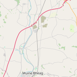
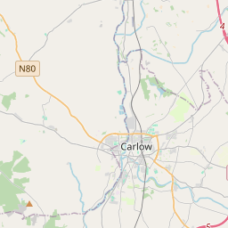

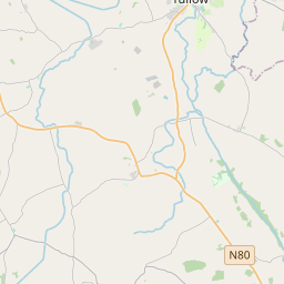
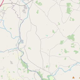
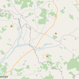
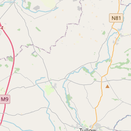
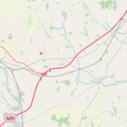
Leaflet | Map data © OpenStreetMap contributors
Superficie
Rathcoole a une superficie de 24,7 km² / 6,110,8 acres / 9,5 miles carrés.
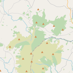
Townlands
Il y a 14 townlands connus dans , soit 100% de la superficie de .
- Agha 262 A, 2 R, 36 P
- Ballysallagh 620 A, 1 R, 17 P
- Carrigeen 517 A, 0 R, 34 P
- Cassagh 243 A, 1 R, 23 P
- Feathallagh 297 A, 3 R, 5 P
- John's Well 442 A, 0 R, 5 P
- Kilderry 419 A, 0 R, 33 P
- Knocknaguppoge 285 A, 1 R, 31 P
- Knockshanbally 456 A, 2 R, 26 P
- Mountnugent Lower 215 A, 2 R, 12 P
- Mountnugent Upper 248 A, 0 R, 24 P
- Ossoryhill 518 A, 1 R, 19 P
- Sandfordscourt 597 A, 2 R, 30 P
- Tullowbrin 986 A, 0 R, 20 P
 OpenStreetMap
Rathcoole a été ajouté à OpenStreetMap le 25 Aoû 2016 par Teester.
- View
- Edit