Based on data in OpenStreetMap, here is a list of townlands in the Electoral Division / ED / District Electoral Division of St Canice's.
St Canice's est dans le Comté
St Canice's is not matched up to Logainm.ie yet.
Carte
Il est situé à 52° 40' 9" N, 7° 18' 57" W.
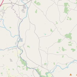
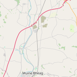
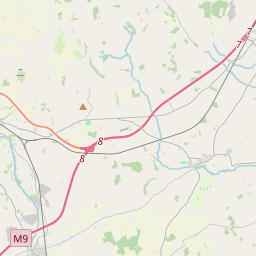
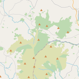
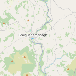

Leaflet | Map data © OpenStreetMap contributors
Superficie
St Canice's a une superficie de 20,9 km² / 5,173,9 acres / 8,1 miles carrés.
Townlands
Il y a 15 townlands connus dans , soit 100% de la superficie de .
- Ballyhendricken 493 A, 3 R, 2 P
- Bigbog 137 A, 1 R, 2 P
- Bishopsfurze 71 A, 0 R, 31 P
- Bonnetstown 574 A, 2 R, 35 P
- Burntfurze 41 A, 3 R, 11 P
- Cappagh 71 A, 3 R, 21 P
- Cloghoge 284 A, 0 R, 23 P
- Cloranshea 358 A, 3 R, 33 P
- Dunningstown 464 A, 3 R, 34 P
- Keatingstown 724 A, 0 R, 5 P
- Kingsland East 158 A, 0 R, 9 P
- Kylenasaggart 60 A, 3 R, 27 P
- Lacken 340 A, 0 R, 19 P
- Newtown 898 A, 2 R, 25 P
- Troyswood 493 A, 1 R, 17 P
 OpenStreetMap
St Canice's a été ajouté à OpenStreetMap le 25 Aoû 2016 par Teester.
- View
- Edit