Based on data in OpenStreetMap, here is a list of townlands in the Electoral Division / ED / District Electoral Division of Knocknaheeny.
Knocknaheeny est dans le Comté
Knocknaheeny is not matched up to Logainm.ie yet.
Carte
Il est situé à 51° 54' 28" N, 8° 29' 58" W.
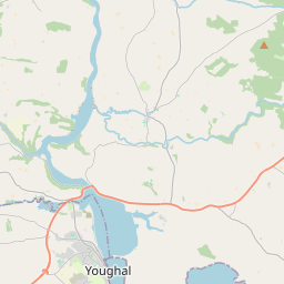

Leaflet | Map data © OpenStreetMap contributors
Superficie
Knocknaheeny a une superficie de 1,2 km² / 293,7 acres / 0,5 miles carrés.
Townlands
Il y a 0 townland connu dans , soit 0% de la superficie de .
 OpenStreetMap
Knocknaheeny a été ajouté à OpenStreetMap le 1 Mar 2017 par Teester.
- View
- Edit