Based on data in OpenStreetMap, here is a list of townlands in Sleaty.
Sleaty fait partie des baronnies de Slievemargy.
Sleaty fait partie des comtés de Laois.
Sleaty est sur Logainm.ie: Sleaty.
Carte
Il est situé à 52° 51' 31" N, 6° 56' 38" W.
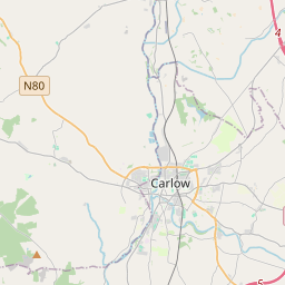
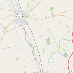
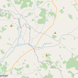
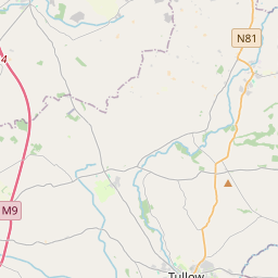
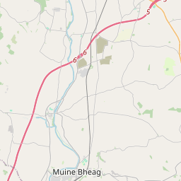

Leaflet | Map data © OpenStreetMap contributors
Superficie
Sleaty a une superficie de 2,7 km² / 670,4 acres / 1,0 miles carrés.
Townlands
There are 2 townlands that we know about in Sleaty. This represents 100% of all the area in Sleaty.
- An Cnoc Beag (see Knockbeg (An Cnoc Beag) , Paroisse civile Sleaty, Baronnie de Slievemargy, Comté Laois)
- Knockbeg (An Cnoc Beag) , Paroisse civile Sleaty, Baronnie de Slievemargy, Comté Laois 233 A, 1 R, 12 P
- Sleaty (Sléibhte) , Paroisse civile Sleaty, Baronnie de Slievemargy, Comté Laois 437 A, 0 R, 6 P
- Sléibhte (see Sleaty (Sléibhte) , Paroisse civile Sleaty, Baronnie de Slievemargy, Comté Laois)
 OpenStreetMap
Sleaty a été ajouté à OpenStreetMap le 7 Mar 2015 par Teester.
- View
- Edit