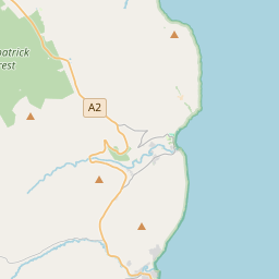
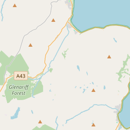
Based on data in OpenStreetMap, here is a list of townlands in the Electoral Division / ED / District Electoral Division of Aghanloo.
Aghanloo est dans le Comté
Aghanloo is not matched up to Logainm.ie yet.
Carte
Il est situé à 55° 5' 36" N, 6° 54' 6" W.


Leaflet | Map data © OpenStreetMap contributors
Superficie
Aghanloo a une superficie de 32,8 km² / 8,095,0 acres / 12,6 miles carrés.
Townlands
Il y a 29 townlands connus dans , soit 100% de la superficie de .
- Artikelly 252 A, 1 R, 20 P
- Ballybrissell 266 A, 0 R, 8 P
- Ballycarton 466 A, 0 R, 29 P
- Ballycarton 129 A, 3 R, 32 P
- Ballycastle 291 A, 3 R, 31 P
- Ballyhanna 435 A, 3 R, 10 P
- Ballymaglin 363 A, 0 R, 12 P
- Ballymoney 90 A, 2 R, 30 P
- Carbullion 170 A, 2 R, 22 P
- Clooney 57 A, 1 R, 13 P
- Dirtagh 318 A, 2 R, 26 P
- Dowland 171 A, 0 R, 20 P
- Drumaderry 229 A, 1 R, 25 P
- Drumalief 193 A, 0 R, 4 P
- Drumbane 181 A, 2 R, 16 P
- Freehall 211 A, 2 R, 21 P
- Glebe 32 A, 1 R, 4 P
- Gortnamoney 75 A, 3 R, 33 P
- Grange Park 1073 A, 0 R, 4 P
- Grannagh 129 A, 3 R, 27 P
- Killybready 201 A, 2 R, 5 P
- Largantea 697 A, 1 R, 25 P
- Lisnagrib 319 A, 2 R, 23 P
- Magheraskeagh 91 A, 2 R, 24 P
- Rathfad 167 A, 2 R, 7 P
- Shanvey 202 A, 1 R, 34 P
- Stradreagh 763 A, 1 R, 22 P
- Tircorran 188 A, 3 R, 0 P
- Tullyarmon 321 A, 3 R, 20 P
 OpenStreetMap
Aghanloo a été ajouté à OpenStreetMap le 5 Mar 2021 par b-unicycling.
- View
- Edit

 JOSM
JOSM iD
iD