Data Completeness
| Comté | Townlands (eau exclue) | Townlands (eau inclue) | Baronnies | Paroisses civiles | ||||
| Louth | 99,66% | 99,43% | 99,20% | 100% | ||||
Couverture
Terres et eaux non couvertes par des townlands
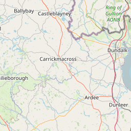
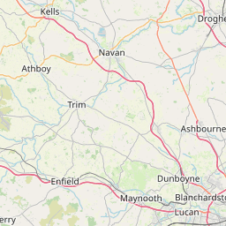

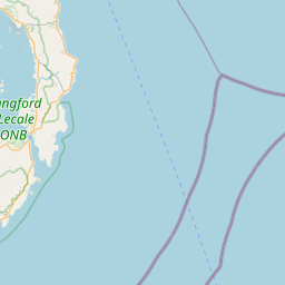

Leaflet | Map data © OpenStreetMap contributors
Combien de temps pour cartographier Louth ?
Surface couverte par 2 townlands ou plus
No townlands overlap in Louth in the OpenStreetMap database.
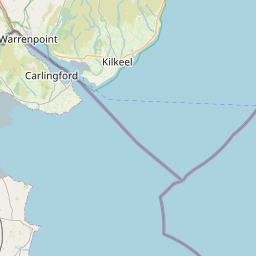
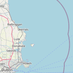
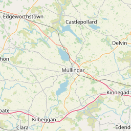
Land & Water not covered by Electoral Divisions
Leaflet | Map data © OpenStreetMap contributors
Land covered by 2 (or more) Electoral Divisions
Sometimes lines following borders appear as "overlap". Zooming in may reveal a tiny overlap somewhere along the line. Sometimes these overlaps are necessary e.g. where roads cross waterways.Leaflet | Map data © OpenStreetMap contributors
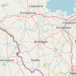
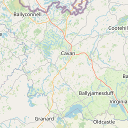
Land not covered by Civil Parishes
Leaflet | Map data © OpenStreetMap contributors
Land covered by 2 (or more) Civil Parishes
No civil parishes overlap in Louth in the OpenStreetMap database.
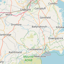
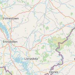
Surface non couverte par des baronnies
Leaflet | Map data © OpenStreetMap contributors
Surface couverte par 2 baronnies ou plus
No baronies overlap in Louth in the OpenStreetMap database.