Based on data in OpenStreetMap, here is a list of townlands in the Electoral Division / ED / District Electoral Division of Crossmolina South.
Crossmolina South est dans le Comté
Crossmolina South is not matched up to Logainm.ie yet.
Carte
Il est situé à 54° 4' 3" N, 9° 18' 20" W.
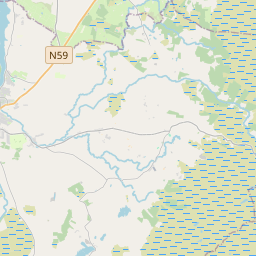
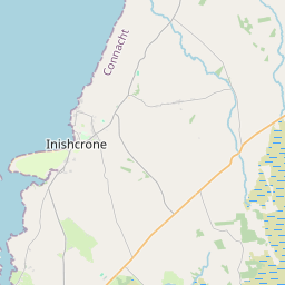
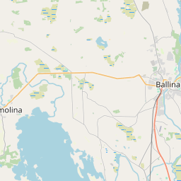
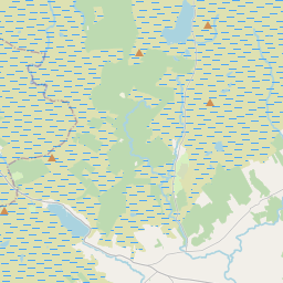
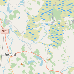
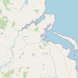
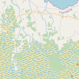

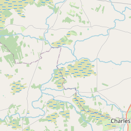
Leaflet | Map data © OpenStreetMap contributors
Superficie
Crossmolina South a une superficie de 38,1 km² / 9,412,0 acres / 14,7 miles carrés.
Townlands
Il y a 31 townlands connus dans , soit 67,9% de la superficie de .
- Ballybrinoge 185 A, 2 R, 5 P
- Ballynalynagh 272 A, 2 R, 22 P
- Bengeery 221 A, 3 R, 25 P
- Cabragh 263 A, 3 R, 13 P
- Caffoley 419 A, 2 R, 24 P
- Carrowcloghagh 161 A, 2 R, 17 P
- Cartrongilbert 88 A, 0 R, 24 P
- Castlehill 826 A, 1 R, 12 P
- Castle Island 15 A, 2 R, 28 P
- Chain Island 10 A, 3 R, 11 P
- Cloonkelly 122 A, 0 R, 23 P
- Errew 683 A, 2 R, 36 P
- Gortaneden 189 A, 3 R, 4 P
- Gortnalyer 43 A, 3 R, 7 P
- Gortnaraby 238 A, 2 R, 5 P
- Inishcoe 126 A, 2 R, 16 P
- Kildaree 116 A, 1 R, 28 P
- Kildavaroge 244 A, 0 R, 36 P
- Killeen 367 A, 2 R, 22 P
- Kilmurry Beg 111 A, 0 R, 29 P
- Kilmurry More 128 A, 3 R, 5 P
- Knockalegan 153 A, 3 R, 2 P
- Lecarrowcloghagh 104 A, 3 R, 28 P
- Longford 205 A, 1 R, 5 P
- Mullenmore North 250 A, 0 R, 1 P
- Mullenmore South 294 A, 2 R, 17 P
- Prospect 147 A, 3 R, 15 P
- Rathmacostello 112 A, 2 R, 15 P
- Richmond 201 A, 0 R, 16 P
- Roe Island 13 A, 1 R, 4 P
- Sranalaghta South 69 A, 1 R, 22 P
 OpenStreetMap
Crossmolina South a été ajouté à OpenStreetMap le 29 Mar 2016 par NoelB.
- View
- Edit