Based on data in OpenStreetMap, here is a list of townlands in the Electoral Division / ED / District Electoral Division of Mayo.
Mayo est dans le Comté
Mayo is not matched up to Logainm.ie yet.
Carte
Il est situé à 53° 45' 27" N, 9° 4' 59" W.
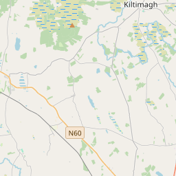
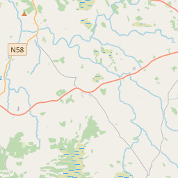
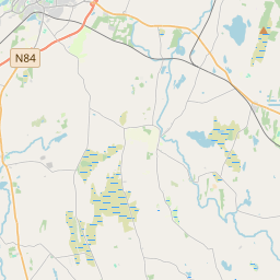
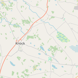
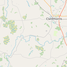
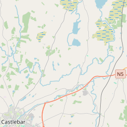
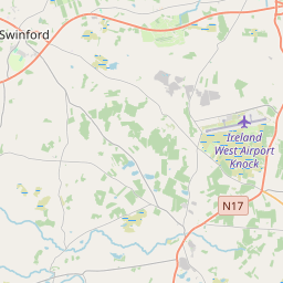
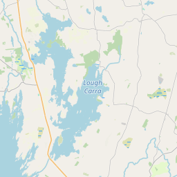
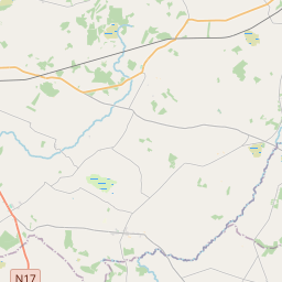
Leaflet | Map data © OpenStreetMap contributors
Superficie
Mayo a une superficie de 26,9 km² / 6,643,6 acres / 10,4 miles carrés.
Townlands
Il y a 31 townlands connus dans , soit 100% de la superficie de .
- Acres 89 A, 0 R, 36 P
- Ballinaster 154 A, 3 R, 17 P
- Ballymullavil 107 A, 1 R, 14 P
- Barnagreggaun 478 A, 0 R, 7 P
- Barreel 239 A, 1 R, 18 P
- Cloonbaul 270 A, 1 R, 34 P
- Cloonshanbo 180 A, 3 R, 22 P
- Coolaghbaun 111 A, 0 R, 19 P
- Corlisland 4 A, 1 R, 17 P
- Corskeagh 83 A, 1 R, 23 P
- Creggaun 151 A, 1 R, 24 P
- Cullentragh 150 A, 2 R, 11 P
- Cunlaghfadda 329 A, 2 R, 5 P
- Derrowel More 220 A, 2 R, 16 P
- Drumady 520 A, 1 R, 19 P
- Facefield 469 A, 1 R, 37 P
- Fahybeg 12 A, 0 R, 14 P
- Gortaphuntaun 149 A, 0 R, 22 P
- Gortnagusetaul 32 A, 1 R, 4 P
- Harefield 157 A, 1 R, 18 P
- Kilbride 251 A, 2 R, 13 P
- Knockaunabroona 16 A, 2 R, 31 P
- Knockaunakill 509 A, 1 R, 39 P
- Knockroe 584 A, 0 R, 22 P
- Maltpool 249 A, 3 R, 6 P
- Mayo Parks 80 A, 3 R, 36 P
- Mossbrook 370 A, 1 R, 12 P
- Pollawaddy 48 A, 1 R, 4 P
- Portagh 326 A, 0 R, 5 P
- Shinganagh 269 A, 0 R, 22 P
- Tullybeg Glebe 25 A, 0 R, 26 P
 OpenStreetMap
Mayo a été ajouté à OpenStreetMap le 13 Jan 2017 par OscarBrownbread.
- View
- Edit