Based on data in OpenStreetMap, here is a list of townlands in the Electoral Division / ED / District Electoral Division of Sraheen.
Sraheen est dans le Comté
Sraheen is not matched up to Logainm.ie yet.
Carte
Il est situé à 53° 59' 30" N, 9° 9' 28" W.
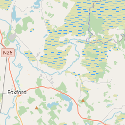
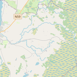

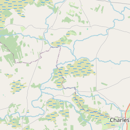
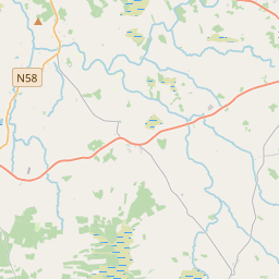
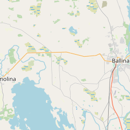
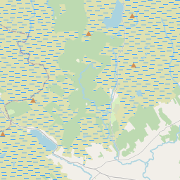
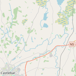
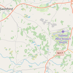
Leaflet | Map data © OpenStreetMap contributors
Superficie
Sraheen a une superficie de 26,3 km² / 6,505,7 acres / 10,2 miles carrés.
Townlands
Il y a 18 townlands connus dans , soit 72,4% de la superficie de .
- Bellass 387 A, 2 R, 10 P
- Burnt Island 13 A, 3 R, 21 P
- Cliff Island 6 A, 2 R, 27 P
- Clossaghroe 279 A, 1 R, 27 P
- Corlummin 501 A, 3 R, 2 P
- Cuingbeg 357 A, 3 R, 32 P
- Cuingmore 255 A, 3 R, 14 P
- Derrygaury 261 A, 0 R, 10 P
- Derrynagran 179 A, 1 R, 29 P
- Drummin 259 A, 3 R, 18 P
- Gorteennamuck 200 A, 3 R, 11 P
- Griffins Island 2 A, 0 R, 7 P
- Illannaglashy 99 A, 1 R, 3 P
- Shannasmore 328 A, 1 R, 12 P
- Srah 177 A, 3 R, 25 P
- Sraheen 675 A, 3 R, 23 P
- Stonehall 241 A, 1 R, 34 P
- Tawnaghmore 479 A, 1 R, 1 P
 OpenStreetMap
Sraheen a été ajouté à OpenStreetMap le 29 Mar 2016 par NoelB.
- View
- Edit