Based on data in OpenStreetMap, here is a list of townlands in Rathkenny.
Rathkenny fait partie des baronnies de Upper Slane.
Rathkenny fait partie des comtés de Meath.
Rathkenny est sur Logainm.ie: Rathkenny.
Carte
Il est situé à 53° 44' 34" N, 6° 39' 18" W.
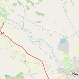
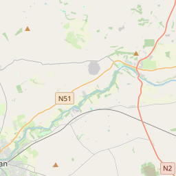
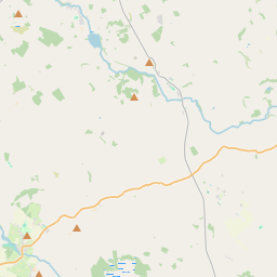
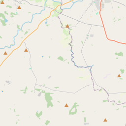

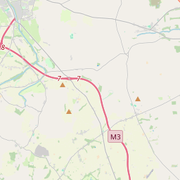
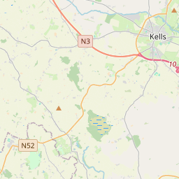
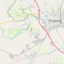

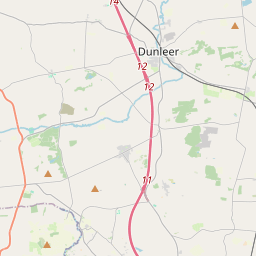
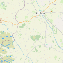
Leaflet | Map data © OpenStreetMap contributors
Superficie
Rathkenny a une superficie de 22,3 km² / 5,499,8 acres / 8,6 miles carrés.
Townlands
There are 10 townlands that we know about in Rathkenny. This represents 100% of all the area in Rathkenny.
- Baile Dhroiminn (see Dreminstown (Baile Dhroiminn) , Paroisse civile Rathkenny, Baronnie de Upper Slane, Comté Meath)
- Chamberstown, Paroisse civile Rathkenny, Baronnie de Upper Slane, Comté Meath 380 A, 0 R, 27 P
- Coghalstown, Paroisse civile Rathkenny, Baronnie de Upper Slane, Comté Meath 588 A, 2 R, 11 P
- Corballis, Paroisse civile Rathkenny, Baronnie de Upper Slane, Comté Meath 92 A, 0 R, 0 P
- Dreminstown (Baile Dhroiminn) , Paroisse civile Rathkenny, Baronnie de Upper Slane, Comté Meath 200 A, 1 R, 28 P
- Dunderk, Paroisse civile Rathkenny, Baronnie de Upper Slane, Comté Meath 113 A, 0 R, 22 P
- Horistown, Paroisse civile Rathkenny, Baronnie de Upper Slane, Comté Meath 561 A, 1 R, 32 P
- Ladyrath, Paroisse civile Rathkenny, Baronnie de Upper Slane, Comté Meath 998 A, 1 R, 6 P
- Mullach Áithe (see Mullagha (Mullach Áithe) , Paroisse civile Rathkenny, Baronnie de Upper Slane, Comté Meath)
- Mullagha (Mullach Áithe) , Paroisse civile Rathkenny, Baronnie de Upper Slane, Comté Meath 587 A, 0 R, 17 P
- Ráth Cheannaigh (see Rathkenny (Ráth Cheannaigh) , Paroisse civile Rathkenny, Baronnie de Upper Slane, Comté Meath)
- Rathkenny (Ráth Cheannaigh) , Paroisse civile Rathkenny, Baronnie de Upper Slane, Comté Meath 1598 A, 2 R, 15 P
- Scottstown, Paroisse civile Rathkenny, Baronnie de Upper Slane, Comté Meath 380 A, 0 R, 4 P
 OpenStreetMap
Rathkenny a été ajouté à OpenStreetMap le 28 Mai 2015 par brianboru.
- View
- Edit