Based on data in OpenStreetMap, here is a list of townlands in the Electoral Division / ED / District Electoral Division of Trohanny.
Trohanny est dans le Comté
Trohanny is not matched up to Logainm.ie yet.
Carte
Il est situé à 53° 51' 50" N, 6° 55' 30" W.


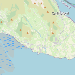
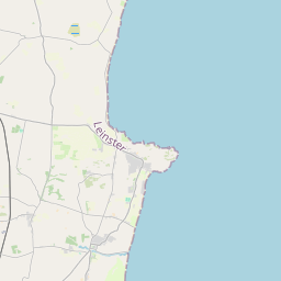

Leaflet | Map data © OpenStreetMap contributors
Superficie
Trohanny a une superficie de 16,9 km² / 4,170,6 acres / 6,5 miles carrés.
Townlands
Il y a 14 townlands connus dans , soit 100% de la superficie de .
- Ageragh 181 A, 3 R, 31 P
- Carrigagh 356 A, 0 R, 25 P
- Corboggy 145 A, 2 R, 3 P
- Corgreagh or Killagriff 415 A, 3 R, 24 P
- Cormeen 443 A, 2 R, 9 P
- Cornaville North 367 A, 2 R, 36 P
- Cornaville South 18 A, 1 R, 32 P
- Doon 364 A, 0 R, 28 P
- Fertagh 156 A, 3 R, 13 P
- Golashane 287 A, 3 R, 33 P
- Leitrim Lower 271 A, 0 R, 31 P
- Leitrim Upper 197 A, 3 R, 31 P
- Teevurcher 468 A, 3 R, 6 P
- Trohanny 494 A, 1 R, 34 P
 OpenStreetMap
Trohanny a été ajouté à OpenStreetMap le 10 Fév 2017 par Teester.
- View
- Edit