Based on data in OpenStreetMap, here is a list of townlands in the Electoral Division / ED / District Electoral Division of Rathfeston.
Rathfeston est dans le Comté
Rathfeston is not matched up to Logainm.ie yet.
Carte
Il est situé à 53° 14' 42" N, 7° 15' 52" W.
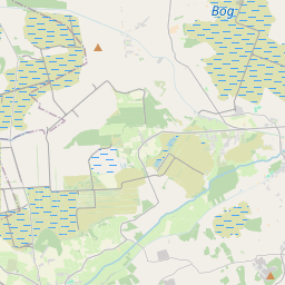
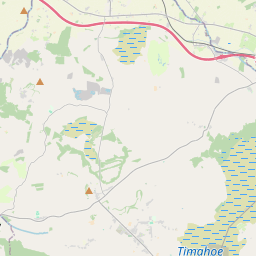
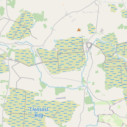
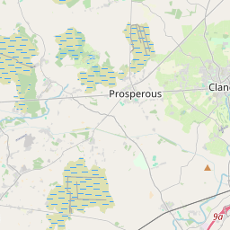
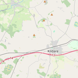
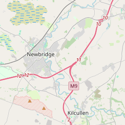
Leaflet | Map data © OpenStreetMap contributors
Superficie
Rathfeston a une superficie de 20,6 km² / 5,093,0 acres / 8,0 miles carrés.
Townlands
Il y a 11 townlands connus dans , soit 100% de la superficie de .
- Ballintemple 294 A, 0 R, 5 P
- Ballintogher 151 A, 2 R, 34 P
- Ballychristal 401 A, 0 R, 39 P
- Ballyduff 379 A, 1 R, 9 P
- Ballynakill 1060 A, 0 R, 37 P
- Garrymona 319 A, 1 R, 3 P
- Gorteenkeel 334 A, 0 R, 32 P
- Kilbeg 533 A, 0 R, 24 P
- Raheenbeg 355 A, 1 R, 23 P
- Rathfeston 972 A, 1 R, 14 P
- Tooreen 292 A, 0 R, 7 P
 OpenStreetMap
Rathfeston a été ajouté à OpenStreetMap le 3 Jan 2015 par Teester.
- View
- Edit