Based on data in OpenStreetMap, here is a list of townlands in the Electoral Division / ED / District Electoral Division of Rossmore.
Rossmore est dans le Comté
Rossmore is not matched up to Logainm.ie yet.
Carte
Il est situé à 53° 49' 34" N, 8° 14' 15" W.
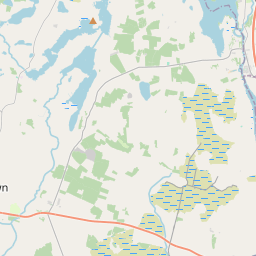
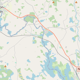
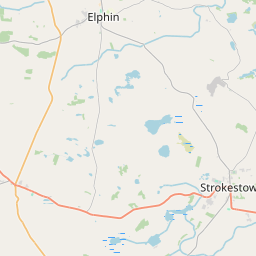
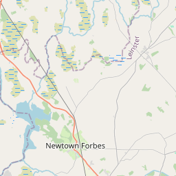
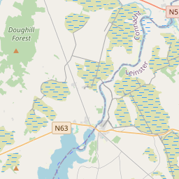
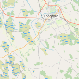
Leaflet | Map data © OpenStreetMap contributors
Superficie
Rossmore a une superficie de 18,1 km² / 4,473,3 acres / 7,0 miles carrés.
Townlands
Il y a 20 townlands connus dans , soit 100% de la superficie de .
- Barrinagh 112 A, 1 R, 38 P
- Carrownamorheeny 138 A, 1 R, 0 P
- Cartron 286 A, 2 R, 32 P
- Cartronagor 147 A, 1 R, 34 P
- Clogher Beg 205 A, 1 R, 31 P
- Clogher More 320 A, 2 R, 2 P
- Cloonroughan 428 A, 3 R, 9 P
- Cloonyeffer 166 A, 1 R, 10 P
- Creeve 147 A, 1 R, 12 P
- Gortnacrannagh 326 A, 0 R, 4 P
- Killeen East 199 A, 1 R, 4 P
- Killeen West 221 A, 1 R, 35 P
- Lisnagard 179 A, 2 R, 13 P
- Lurgan 219 A, 0 R, 36 P
- Raheen 204 A, 2 R, 3 P
- Rathroe 143 A, 0 R, 34 P
- Ross Beg 274 A, 1 R, 8 P
- Ross More East 353 A, 1 R, 12 P
- Ross More West 250 A, 1 R, 12 P
- Runnaruag 148 A, 2 R, 25 P
 OpenStreetMap
Rossmore a été ajouté à OpenStreetMap le 25 Sep 2015 par NoelB.
- View
- Edit