Based on data in OpenStreetMap, here is a list of townlands in the Electoral Division / ED / District Electoral Division of Strokestown.
Strokestown est dans le Comté
Strokestown is not matched up to Logainm.ie yet.
Carte
Il est situé à 53° 46' 26" N, 8° 5' 29" W.
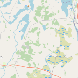
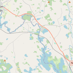
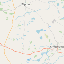
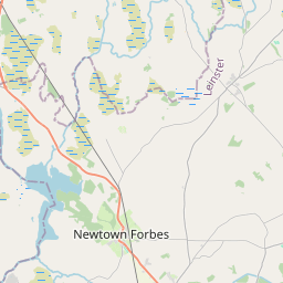
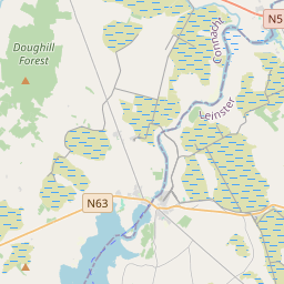
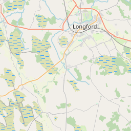
Leaflet | Map data © OpenStreetMap contributors
Superficie
Strokestown a une superficie de 18,1 km² / 4,468,4 acres / 7,0 miles carrés.
Townlands
Il y a 17 townlands connus dans , soit 100% de la superficie de .
- Ballyhammon 145 A, 1 R, 24 P
- Bumlin 251 A, 1 R, 27 P
- Carrowclogher 259 A, 1 R, 36 P
- Carrowntryla 128 A, 0 R, 36 P
- Castlenode 182 A, 2 R, 16 P
- Clooneen (Hartland) 454 A, 3 R, 9 P
- Cloonrabrackan 248 A, 1 R, 3 P
- Cloonradoon 420 A, 2 R, 1 P
- Cloonslanor 385 A, 1 R, 4 P
- Farnbeg 181 A, 1 R, 6 P
- Farnmore 235 A, 2 R, 3 P
- Kildalloge 204 A, 3 R, 35 P
- Kilmore 217 A, 1 R, 8 P
- Lavally 160 A, 3 R, 37 P
- Lisroyne 437 A, 3 R, 5 P
- Newtown 368 A, 2 R, 35 P
- Vesnoy 185 A, 3 R, 15 P
 OpenStreetMap
Strokestown a été ajouté à OpenStreetMap le 25 Sep 2015 par NoelB.
- View
- Edit