Based on data in OpenStreetMap, here is a list of townlands in the Electoral Division / ED / District Electoral Division of Ballintogher West.
Ballintogher West est dans le Comté
Ballintogher West is not matched up to Logainm.ie yet.
Carte
Il est situé à 54° 12' 46" N, 8° 25' 19" W.
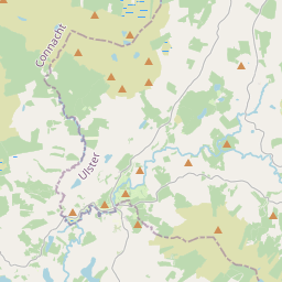
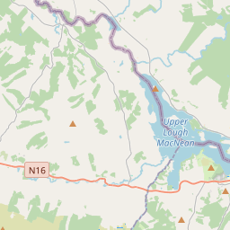
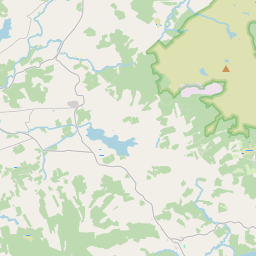
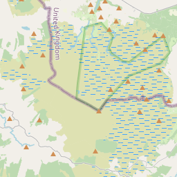
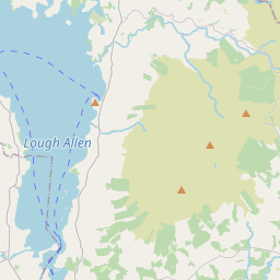
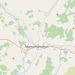
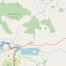
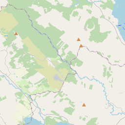
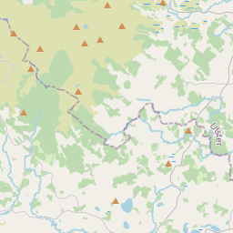
Leaflet | Map data © OpenStreetMap contributors
Superficie
Ballintogher West a une superficie de 22,8 km² / 5,629,7 acres / 8,8 miles carrés.
Townlands
Il y a 15 townlands connus dans , soit 98,4% de la superficie de .
- Aghamore Far 856 A, 2 R, 14 P
- Arnasbrack 505 A, 3 R, 19 P
- Carrownagh 870 A, 2 R, 22 P
- Carrrownamaddoo 432 A, 3 R, 34 P
- Cartronhugh 329 A, 1 R, 6 P
- Cartrontaylor 202 A, 0 R, 10 P
- Castledargan 973 A, 1 R, 39 P
- Correagh 488 A, 3 R, 9 P
- Doonamurray 121 A, 0 R, 0 P
- Drumcondra 217 A, 1 R, 0 P
- Glynn Island 0 A, 1 R, 15 P
- Killeenduff 79 A, 0 R, 37 P
- Kilross 209 A, 1 R, 17 P
- Knoackatober 103 A, 0 R, 3 P
- Rathmoney 151 A, 0 R, 26 P
 OpenStreetMap
Ballintogher West a été ajouté à OpenStreetMap le 18 Aoû 2015 par NoelB.
- View
- Edit