Based on data in OpenStreetMap, here is a list of townlands in the Electoral Division / ED / District Electoral Division of Ardcrony.
Ardcrony est dans le Comté
Ardcrony is not matched up to Logainm.ie yet.
Carte
Il est situé à 52° 55' 28" N, 8° 9' 57" W.
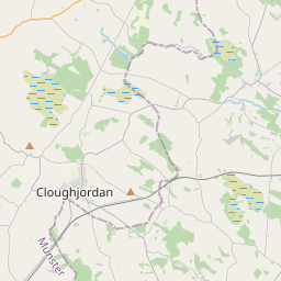
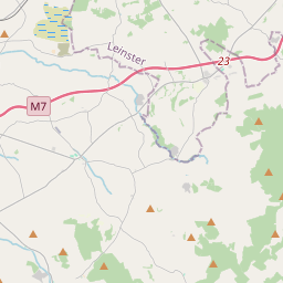
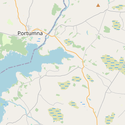
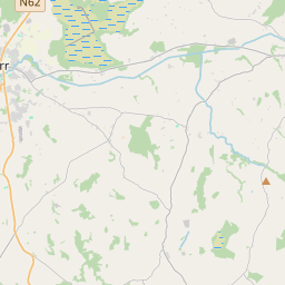
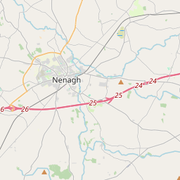
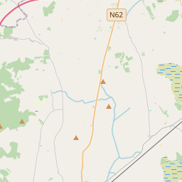
Leaflet | Map data © OpenStreetMap contributors
Superficie
Ardcrony a une superficie de 16,5 km² / 4,083,7 acres / 6,4 miles carrés.
Townlands
Il y a 18 townlands connus dans , soit 100% de la superficie de .
- Ardcrony 888 A, 0 R, 17 P
- Ashleypark 498 A, 3 R, 5 P
- Ballinvilla 52 A, 1 R, 35 P
- Ballynamurragh North 153 A, 1 R, 29 P
- Ballynamurragh South 188 A, 1 R, 18 P
- Ballyrickard South 346 A, 0 R, 25 P
- Ballythomas 153 A, 2 R, 1 P
- Carrickaneagh 207 A, 2 R, 29 P
- Clashateenaun 56 A, 2 R, 27 P
- Coolderry 320 A, 2 R, 33 P
- Druminascart 223 A, 3 R, 38 P
- Gortadalaun 234 A, 0 R, 3 P
- Gortawoer 12 A, 1 R, 36 P
- Killea 55 A, 3 R, 8 P
- Kilruane 258 A, 2 R, 22 P
- Magheranenagh 251 A, 1 R, 6 P
- Rockview 119 A, 1 R, 15 P
- Sedgemoor 62 A, 0 R, 33 P
 OpenStreetMap
Ardcrony a été ajouté à OpenStreetMap le 27 Nov 2016 par Teester.
- View
- Edit