Based on data in OpenStreetMap, here is a list of townlands in the Electoral Division / ED / District Electoral Division of Carrig.
Carrig est dans le Comté
Carrig is not matched up to Logainm.ie yet.
Carte
Il est situé à 53° 4' 5" N, 7° 57' 17" W.
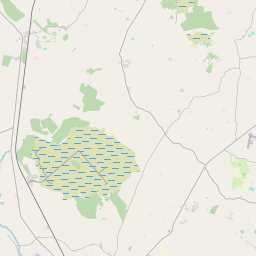
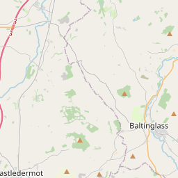
Leaflet | Map data © OpenStreetMap contributors
Superficie
Carrig a une superficie de 12,3 km² / 3,046,5 acres / 4,8 miles carrés.
Townlands
Il y a 14 townlands connus dans , soit 100% de la superficie de .
- Ballagh 339 A, 2 R, 4 P
- Ballykinash 473 A, 3 R, 6 P
- Caherhoereigh 227 A, 3 R, 20 P
- Castletown 99 A, 2 R, 28 P
- Clonfree 176 A, 2 R, 29 P
- Clonraskin 128 A, 0 R, 28 P
- Cornhill 88 A, 2 R, 27 P
- Cronekill 145 A, 3 R, 17 P
- Derrinlieragh 112 A, 2 R, 17 P
- Kylenamuck 270 A, 0 R, 22 P
- Pallas 139 A, 2 R, 20 P
- Stonestown 86 A, 2 R, 35 P
- Tinlough 376 A, 3 R, 9 P
- Tinnakilly 380 A, 1 R, 16 P
 OpenStreetMap
Carrig a été ajouté à OpenStreetMap le 3 Déc 2016 par Teester.
- View
- Edit