Based on data in OpenStreetMap, here is a list of townlands in the Electoral Division / ED / District Electoral Division of Kilmore.
Kilmore est dans le Comté
Kilmore is not matched up to Logainm.ie yet.
Carte
Il est situé à 52° 47' 7" N, 8° 12' 58" W.

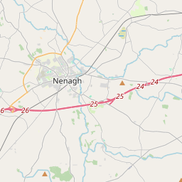
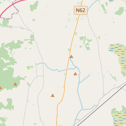
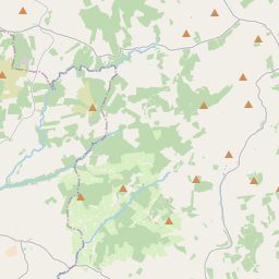

Leaflet | Map data © OpenStreetMap contributors
Superficie
Kilmore a une superficie de 36,5 km² / 9,025,5 acres / 14,1 miles carrés.
Townlands
Il y a 27 townlands connus dans , soit 100% de la superficie de .
- Ballincur 175 A, 2 R, 30 P
- Ballyanrahan 267 A, 2 R, 2 P
- Ballygown North 15 A, 2 R, 15 P
- Ballygown South 88 A, 0 R, 30 P
- Ballyhow 81 A, 1 R, 23 P
- Bolingbrook 805 A, 0 R, 33 P
- Boolteeny 329 A, 1 R, 38 P
- Cloonanagh 226 A, 0 R, 9 P
- Cooleen 549 A, 0 R, 34 P
- Cranahurt 150 A, 1 R, 35 P
- Curraghameen 400 A, 1 R, 23 P
- Curryquin 865 A, 3 R, 31 P
- Deerpark 204 A, 0 R, 10 P
- Garryard East 87 A, 1 R, 25 P
- Garryard West 333 A, 0 R, 7 P
- Garryclogher 103 A, 1 R, 27 P
- Gorteenadiha 409 A, 0 R, 12 P
- Gortshaneroe 539 A, 1 R, 9 P
- Kilboy 582 A, 0 R, 28 P
- Kilmore 163 A, 1 R, 29 P
- Knockanroe 344 A, 1 R, 10 P
- Lahid 720 A, 0 R, 33 P
- Lisnageenly 771 A, 3 R, 29 P
- Logg 82 A, 0 R, 28 P
- Mountisland 195 A, 3 R, 26 P
- Mucklin 482 A, 3 R, 17 P
- Stangs 50 A, 3 R, 34 P
 OpenStreetMap
Kilmore a été ajouté à OpenStreetMap le 9 Déc 2016 par Teester.
- View
- Edit