Based on data in OpenStreetMap, here is a list of townlands in the Electoral Division / ED / District Electoral Division of Loughmore.
Loughmore est dans le Comté
Loughmore is not matched up to Logainm.ie yet.
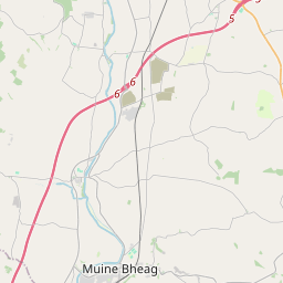
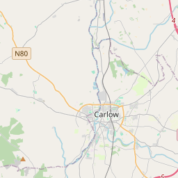
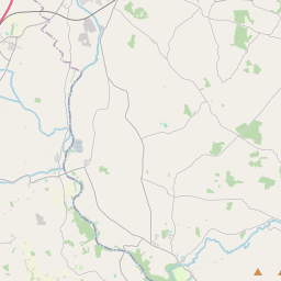
Carte
Il est situé à 52° 45' 44" N, 7° 48' 30" W.


Leaflet | Map data © OpenStreetMap contributors
Superficie
Loughmore a une superficie de 29,5 km² / 7,297,3 acres / 11,4 miles carrés.
Townlands
Il y a 25 townlands connus dans , soit 100% de la superficie de .
- Baronstown 516 A, 1 R, 3 P
- Carrickloughmore 188 A, 1 R, 4 P
- Clogharaily Beg 261 A, 2 R, 37 P
- Clogharaily More 607 A, 3 R, 1 P
- Cloone 266 A, 2 R, 31 P
- Coogulla 313 A, 1 R, 5 P
- Curraghmore 268 A, 3 R, 25 P
- Derry 81 A, 3 R, 25 P
- Gorteendangan 173 A, 1 R, 34 P
- Gorteenmagher 222 A, 2 R, 25 P
- Gortnahaha 73 A, 2 R, 31 P
- Gortreagh 206 A, 0 R, 18 P
- Graiguefrahane 505 A, 3 R, 38 P
- Kilbrickane 78 A, 1 R, 22 P
- Kilcoke 184 A, 0 R, 18 P
- Kilcurkree 456 A, 3 R, 19 P
- Killanigan 322 A, 2 R, 28 P
- Kilnaseer 199 A, 3 R, 32 P
- Laghile 152 A, 3 R, 22 P
- Mardyke 171 A, 2 R, 28 P
- Penane 173 A, 3 R, 22 P
- Rocker 117 A, 2 R, 38 P
- Skeagh 44 A, 2 R, 2 P
- Tinvoher 1094 A, 0 R, 8 P
- Whitefield 613 A, 2 R, 38 P
 OpenStreetMap
Loughmore a été ajouté à OpenStreetMap le 9 Déc 2016 par Teester.
- View
- Edit

 JOSM
JOSM iD
iD