Based on data in OpenStreetMap, here is a list of townlands in the Electoral Division / ED / District Electoral Division of Aghnahoe.
Aghnahoe est dans le Comté
Aghnahoe is not matched up to Logainm.ie yet.
Carte
Il est situé à 54° 29' 51" N, 6° 59' 12" W.
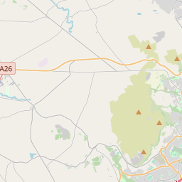
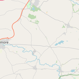
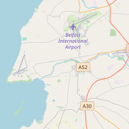
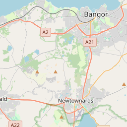

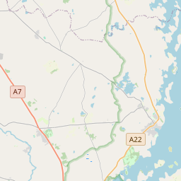
Leaflet | Map data © OpenStreetMap contributors
Superficie
Aghnahoe a une superficie de 34,3 km² / 8,483,0 acres / 13,3 miles carrés.
Townlands
Il y a 14 townlands connus dans , soit 100% de la superficie de .
- Aghnahoe 397 A, 2 R, 29 P
- Ballynahaye 1451 A, 2 R, 10 P
- Bockets 673 A, 2 R, 39 P
- Cranlome 1259 A, 2 R, 22 P
- Cullentra 186 A, 3 R, 15 P
- Dergenagh 435 A, 3 R, 27 P
- Drumfad 336 A, 1 R, 18 P
- Inishmagh 296 A, 1 R, 36 P
- Legaroe 436 A, 1 R, 25 P
- Lurgacullion 284 A, 3 R, 19 P
- Millix 1232 A, 3 R, 13 P
- Mullysilly 137 A, 2 R, 19 P
- Tullyvannon 451 A, 1 R, 15 P
- Tulnavern 901 A, 2 R, 28 P
 OpenStreetMap
Aghnahoe a été ajouté à OpenStreetMap le 2 Mar 2021 par b-unicycling.
- View
- Edit