Based on data in OpenStreetMap, here is a list of townlands in the Electoral Division / ED / District Electoral Division of Ballygawley.
Ballygawley est dans le Comté
Ballygawley is not matched up to Logainm.ie yet.
Carte
Il est situé à 54° 29' 7" N, 7° 3' 45" W.
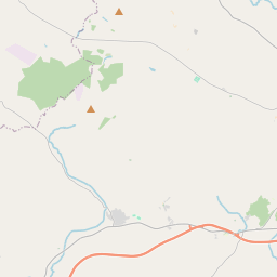
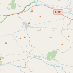
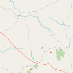
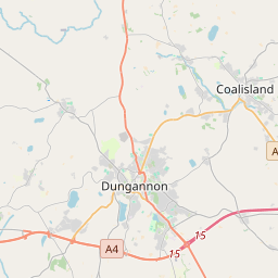
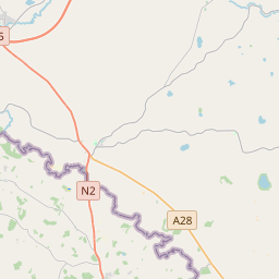
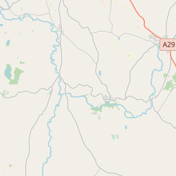
Leaflet | Map data © OpenStreetMap contributors
Superficie
Ballygawley a une superficie de 28,0 km² / 6,926,5 acres / 10,8 miles carrés.
Townlands
Il y a 20 townlands connus dans , soit 100% de la superficie de .
- Altcloghfin 1363 A, 3 R, 36 P
- Altnagore 256 A, 0 R, 8 P
- Armalughey 254 A, 0 R, 21 P
- Ballygawley 125 A, 1 R, 14 P
- Ballymackilroy 673 A, 1 R, 35 P
- Coolageery 144 A, 1 R, 3 P
- Cravenny Scotch 176 A, 2 R, 28 P
- Findrum 221 A, 1 R, 5 P
- Grange 327 A, 2 R, 4 P
- Green Hill Demesne 262 A, 1 R, 1 P
- Killymorgan 185 A, 2 R, 15 P
- Knockonny 366 A, 1 R, 27 P
- Lisgonnell 121 A, 0 R, 4 P
- Martry 252 A, 1 R, 10 P
- Richmond 266 A, 0 R, 24 P
- Sess Kilgreen 61 A, 1 R, 16 P
- Shantavny Irish 790 A, 1 R, 24 P
- Shantavny Scotch 583 A, 1 R, 9 P
- Tirnaskea 310 A, 1 R, 8 P
- Tullyglush 184 A, 2 R, 9 P
 OpenStreetMap
Ballygawley a été ajouté à OpenStreetMap le 2 Mar 2021 par b-unicycling.
- View
- Edit