Based on data in OpenStreetMap, here is a list of townlands in the Electoral Division / ED / District Electoral Division of Killycolpy.
Killycolpy est dans le Comté
Killycolpy is not matched up to Logainm.ie yet.
Carte
Il est situé à 54° 36' 8" N, 6° 35' 2" W.
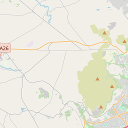

Leaflet | Map data © OpenStreetMap contributors
Superficie
Killycolpy a une superficie de 23,5 km² / 5,809,2 acres / 9,1 miles carrés.
Townlands
Il y a 15 townlands connus dans , soit 100% de la superficie de .
- Aghacolumb 297 A, 0 R, 8 P
- Ballymaguire 265 A, 0 R, 39 P
- Ballymurphy 254 A, 3 R, 19 P
- Brookend 619 A, 1 R, 1 P
- Carnan 467 A, 0 R, 12 P
- Dromore 354 A, 1 R, 20 P
- Elagh 331 A, 1 R, 26 P
- Killycolpy 817 A, 0 R, 13 P
- Killymenagh 254 A, 3 R, 33 P
- Killywoolaghan 736 A, 2 R, 13 P
- Kilsally 372 A, 1 R, 1 P
- Mullaghglass 246 A, 1 R, 11 P
- Tamlaghtmore 262 A, 1 R, 32 P
- Tamnavally 249 A, 1 R, 24 P
- Trickvallen 280 A, 3 R, 6 P
 OpenStreetMap
Killycolpy a été ajouté à OpenStreetMap le 4 Mar 2021 par b-unicycling.
- View
- Edit