Based on data in OpenStreetMap, here is a list of townlands in the Electoral Division / ED / District Electoral Division of Mountcastle.
Mountcastle est dans le Comté
Mountcastle is not matched up to Logainm.ie yet.
Carte
Il est situé à 54° 54' 2" N, 7° 19' 21" W.
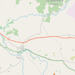
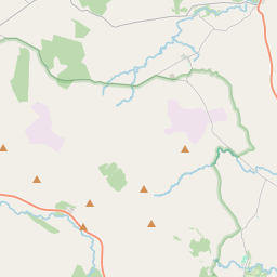
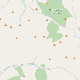
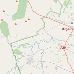
Leaflet | Map data © OpenStreetMap contributors
Superficie
Mountcastle a une superficie de 24,4 km² / 6,038,4 acres / 9,4 miles carrés.
Townlands
Il y a 15 townlands connus dans , soit 100% de la superficie de .
- Ballynabwee 211 A, 1 R, 22 P
- Carrickatane 488 A, 0 R, 37 P
- Castlemellan 461 A, 1 R, 7 P
- Castlewarren 791 A, 2 R, 11 P
- Cavancreagh 235 A, 2 R, 28 P
- Cullion 433 A, 3 R, 1 P
- Glencosh 355 A, 3 R, 25 P
- Glennagoorland Glebe 698 A, 2 R, 20 P
- Gloudstown 130 A, 3 R, 35 P
- Gortmellan 574 A, 1 R, 0 P
- Mountcastle 185 A, 0 R, 22 P
- Moyagh 156 A, 1 R, 25 P
- Stranabrosny 133 A, 3 R, 8 P
- Taboe Glebe 684 A, 2 R, 35 P
- Tullyard 496 A, 2 R, 18 P
 OpenStreetMap
Mountcastle a été ajouté à OpenStreetMap le 4 Mar 2021 par b-unicycling.
- View
- Edit