Based on data in OpenStreetMap, here is a list of townlands in the Electoral Division / ED / District Electoral Division of Ballynamult.
Ballynamult est dans le Comté
Ballynamult is not matched up to Logainm.ie yet.
Carte
Il est situé à 52° 11' 47" N, 7° 45' 42" W.
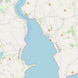
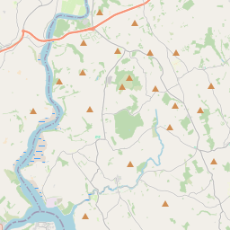
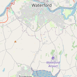
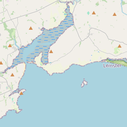
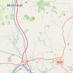
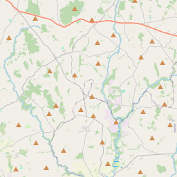

Leaflet | Map data © OpenStreetMap contributors
Superficie
Ballynamult a une superficie de 19,8 km² / 4,883,8 acres / 7,6 miles carrés.
Townlands
Il y a 15 townlands connus dans , soit 100% de la superficie de .
- Ballynaguilkee Lower 309 A, 2 R, 11 P
- Ballynaguilkee Upper 406 A, 1 R, 18 P
- Ballynamult 160 A, 0 R, 3 P
- Bonatouk or Monatouk 143 A, 3 R, 0 P
- Broemountain 809 A, 1 R, 33 P
- Corradoon 569 A, 3 R, 24 P
- Doon 451 A, 0 R, 26 P
- Dyrick 244 A, 0 R, 23 P
- Farnane Lower 224 A, 2 R, 23 P
- Farnane Upper 232 A, 3 R, 37 P
- Lickoran 230 A, 3 R, 9 P
- Lickoranmountain 79 A, 0 R, 3 P
- Lisleagh 263 A, 0 R, 20 P
- Lisleaghmountain 155 A, 0 R, 6 P
- Lyrattin 603 A, 2 R, 36 P
 OpenStreetMap
Ballynamult a été ajouté à OpenStreetMap le 12 Nov 2016 par Teester.
- View
- Edit