Based on data in OpenStreetMap, here is a list of townlands in Rathroe.
Rathroe fait partie des baronnies de Shelburne.
Rathroe fait partie des comtés de Wexford.
Rathroe est sur Logainm.ie: Rathroe.
Carte
Il est situé à 52° 15' 24" N, 6° 53' 21" W.
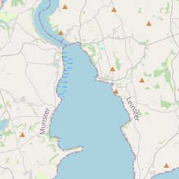
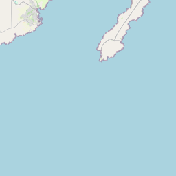
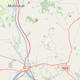
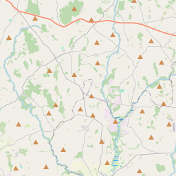

Leaflet | Map data © OpenStreetMap contributors
Superficie
Rathroe a une superficie de 9,7 km² / 2,397,0 acres / 3,7 miles carrés.
Townlands
There are 4 townlands that we know about in Rathroe. This represents 100% of all the area in Rathroe.
- An tAgard (see Haggard (An tAgard) , Paroisse civile Rathroe, Baronnie de Shelburne, Comté Wexford)
- An Chorr Mhór (see Curraghmore (An Chorr Mhór) , Paroisse civile Rathroe, Baronnie de Shelburne, Comté Wexford)
- Curraghmore (An Chorr Mhór) , Paroisse civile Rathroe, Baronnie de Shelburne, Comté Wexford 281 A, 2 R, 3 P
- Haggard (An tAgard) , Paroisse civile Rathroe, Baronnie de Shelburne, Comté Wexford 777 A, 1 R, 16 P
- Móin na Caothaí (see Monacahee (Móin na Caothaí) , Paroisse civile Rathroe, Baronnie de Shelburne, Comté Wexford)
- Monacahee (Móin na Caothaí) , Paroisse civile Rathroe, Baronnie de Shelburne, Comté Wexford 307 A, 0 R, 18 P
- Shelbaggan (Síol Beagáin) , Paroisse civile Rathroe, Baronnie de Shelburne, Comté Wexford 1030 A, 3 R, 39 P
- Síol Beagáin (see Shelbaggan (Síol Beagáin) , Paroisse civile Rathroe, Baronnie de Shelburne, Comté Wexford)
 OpenStreetMap
Rathroe a été ajouté à OpenStreetMap le 11 Fév 2014 par brianh.
- View
- Edit