Based on data in OpenStreetMap, here is a list of townlands in the Electoral Division / ED / District Electoral Division of Hartstown.
Hartstown est dans le Comté
Hartstown is not matched up to Logainm.ie yet.
Carte
Il est situé à 52° 58' 18" N, 6° 45' 17" W.
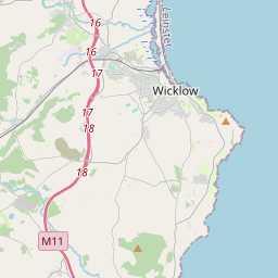

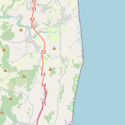
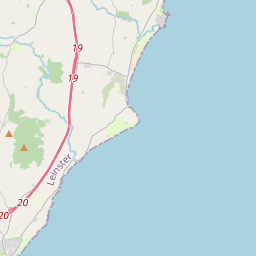
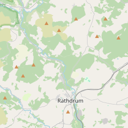
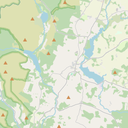
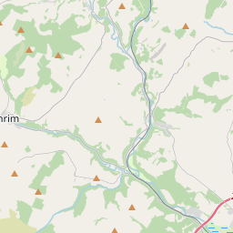
Leaflet | Map data © OpenStreetMap contributors
Superficie
Hartstown a une superficie de 14,6 km² / 3,598,0 acres / 5,6 miles carrés.
Townlands
Il y a 13 townlands connus dans , soit 100% de la superficie de .
- Ballycore 267 A, 3 R, 10 P
- Baronstown Lower 235 A, 3 R, 31 P
- Baronstown Upper 276 A, 2 R, 3 P
- Glennacanon 270 A, 2 R, 15 P
- Hartstown 217 A, 1 R, 14 P
- Knockanreagh 223 A, 3 R, 26 P
- Lackareagh 339 A, 0 R, 37 P
- Monatore 210 A, 3 R, 39 P
- Moneymore 405 A, 2 R, 32 P
- Oldtown 215 A, 1 R, 37 P
- Rathtoole 424 A, 3 R, 36 P
- Tinoranhill North 251 A, 1 R, 14 P
- Tinoranhill South 258 A, 0 R, 15 P
 OpenStreetMap
Hartstown a été ajouté à OpenStreetMap le 1 Oct 2016 par Teester.
- View
- Edit