Based on data in OpenStreetMap, here is a list of townlands in the Electoral Division / ED / District Electoral Division of Knockrath.
Knockrath est dans le Comté
Knockrath is not matched up to Logainm.ie yet.
Carte
Il est situé à 52° 58' 17" N, 6° 23' 57" W.
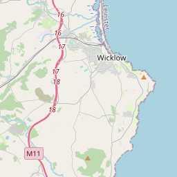

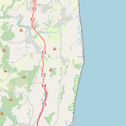
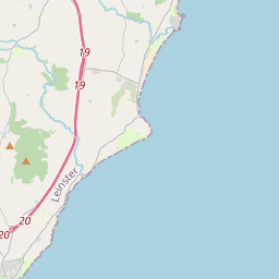

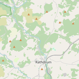
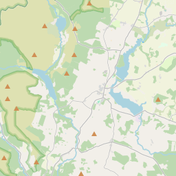
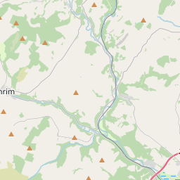
Leaflet | Map data © OpenStreetMap contributors
Superficie
Knockrath a une superficie de 70,9 km² / 17,516,7 acres / 27,4 miles carrés.
Townlands
Il y a 18 townlands connus dans , soit 100% de la superficie de .
- Aghavannagh (Revell) 2773 A, 3 R, 24 P
- Ballinafunshoge 683 A, 3 R, 2 P
- Ballinagoneen 940 A, 0 R, 10 P
- Ballinaskea 1182 A, 3 R, 23 P
- Ballyboy 1023 A, 0 R, 9 P
- Ballybraid 895 A, 1 R, 35 P
- Baravore 1219 A, 0 R, 25 P
- Camenabologue 1028 A, 1 R, 25 P
- Carrawaystick 1178 A, 3 R, 27 P
- Carriglinneen 1004 A, 1 R, 6 P
- Clohernagh 939 A, 0 R, 20 P
- Clonkeen 423 A, 2 R, 30 P
- Conavalla 777 A, 3 R, 5 P
- Corrasillagh 944 A, 1 R, 8 P
- Cullentragh Big 934 A, 3 R, 39 P
- Cullentragh Little 304 A, 1 R, 28 P
- Cullentragh Park 540 A, 0 R, 25 P
- Kirikee 722 A, 1 R, 3 P
 OpenStreetMap
Knockrath a été ajouté à OpenStreetMap le 1 Oct 2016 par Teester.
- View
- Edit