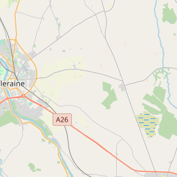
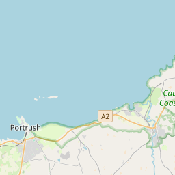
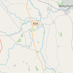
Based on data in OpenStreetMap, here is a list of townlands in the Electoral Division / ED / District Electoral Division of Beardiville.
Beardiville is in Co.
Beardiville is not matched up to Logainm.ie yet.
Léarscáil
It is located at 55° 10' 2" N, 6° 33' 32" W.


Leaflet | Map data © OpenStreetMap contributors
Achar
Beardiville has an area of 22.8 km² / 5,623.9 acres / 8.8 square miles.
Ceannbhailte
There are 33 townlands that we know about in . This represents 100% of all the area in .
- Baile Cloiche 158 A, 2 R, 18 P
- Baile Cloiche 78 A, 0 R, 28 P
- Baile Cloiche 78 A, 1 R, 21 P
- Baile Cloiche 69 A, 3 R, 17 P
- Baile Cloiche 69 A, 0 R, 0 P
- Baile Tuama 538 A, 0 R, 38 P
- Baile Thiunslaigh 112 A, 0 R, 38 P
- Baile Thiunslaigh 220 A, 1 R, 7 P
- Ballyrock Irish 383 A, 2 R, 14 P
- Ballyrock Scotch 148 A, 2 R, 13 P
- Ballywatt East 100 A, 3 R, 26 P
- Ballywatt Leggs 168 A, 1 R, 37 P
- Ballywatt West 129 A, 1 R, 36 P
- Beardiville 225 A, 3 R, 6 P
- Carn Glas Beag 54 A, 3 R, 8 P
- Carn Glas Mor 149 A, 3 R, 14 P
- Fearann na Leathsheisrí 180 A, 0 R, 15 P
- Flower Hill 193 A, 3 R, 13 P
- Oilean Carrach 204 A, 2 R, 26 P
- Oilean Carrach 139 A, 3 R, 22 P
- Cill Mhaol 221 A, 3 R, 29 P
- Lios na Reach 103 A, 0 R, 23 P
- Oldtown 121 A, 0 R, 16 P
- Outhill 221 A, 1 R, 3 P
- Fearann an tSagairt 165 A, 2 R, 24 P
- Fearann an tSagairt 238 A, 0 R, 1 P
- Rath Mhallacht 194 A, 1 R, 3 P
- Rath Mhallacht 222 A, 3 R, 28 P
- Riasc 152 A, 2 R, 11 P
- Seneirl 116 A, 3 R, 5 P
- Tobar Dornain 133 A, 0 R, 31 P
- Townend 170 A, 3 R, 29 P
- Fearann na Leathsheisrí 157 A, 1 R, 5 P
 OpenStreetMap
Beardiville was added to OpenStreetMap on 25 Feabh 2021 by b-unicycling.
- View
- Edit

 JOSM
JOSM iD
iD