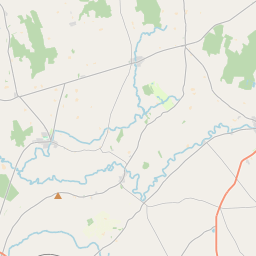
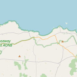
Based on data in OpenStreetMap, here is a list of townlands in the Electoral Division / ED / District Electoral Division of Dervock.
Dervock is in Co.
Dervock is not matched up to Logainm.ie yet.
Léarscáil
It is located at 55° 7' 28" N, 6° 26' 20" W.


Leaflet | Map data © OpenStreetMap contributors
Achar
Dervock has an area of 23.4 km² / 5,782.2 acres / 9.0 square miles.
Ceannbhailte
There are 26 townlands that we know about in . This represents 100% of all the area in .
- Achadh na Croise 57 A, 0 R, 24 P
- Baile na Faithche 242 A, 1 R, 14 P
- Baile Ui Raitheachain 133 A, 2 R, 31 P
- Baile Ui Raiteachain 214 A, 3 R, 11 P
- Bellisle 280 A, 2 R, 31 P
- Carn Codhla 193 A, 0 R, 25 P
- Carn Codhla 106 A, 2 R, 39 P
- Carn Codhla 431 A, 1 R, 20 P
- Carn Fiodhog 297 A, 2 R, 15 P
- Ceathramha Cloiche 154 A, 0 R, 35 P
- Chathamhall 189 A, 2 R, 14 P
- Cuil 230 A, 1 R, 22 P
- Dairbheog 111 A, 3 R, 6 P
- Druim Crotach 250 A, 2 R, 11 P
- Carnaboy 170 A, 3 R, 12 P
- Cnocan Buidhe 349 A, 1 R, 32 P
- Cnoc Ui Mheallain 204 A, 1 R, 7 P
- Lios Conain 494 A, 0 R, 11 P
- Lios Albanach 191 A, 1 R, 22 P
- Liverly Lower 248 A, 3 R, 37 P
- Livery Upper 256 A, 2 R, 9 P
- Maighistir Gaoithe 301 A, 1 R, 12 P
- An Mullach Dubh 144 A, 2 R, 26 P
- Stroan Lower 154 A, 3 R, 3 P
- Stroan Upper 256 A, 1 R, 3 P
- Tulaig Ban 115 A, 1 R, 17 P
 OpenStreetMap
Dervock was added to OpenStreetMap on 26 Feabh 2021 by b-unicycling.
- View
- Edit

 JOSM
JOSM iD
iD