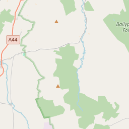
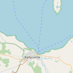
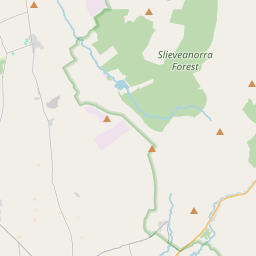
Based on data in OpenStreetMap, here is a list of townlands in the Electoral Division / ED / District Electoral Division of Glenshesk.
Glenshesk is in Co.
Glenshesk is not matched up to Logainm.ie yet.
Léarscáil
It is located at 55° 8' 39" N, 6° 12' 15" W.


Leaflet | Map data © OpenStreetMap contributors
Achar
Glenshesk has an area of 35.8 km² / 8,852.6 acres / 13.8 square miles.
Ceannbhailte
There are 21 townlands that we know about in . This represents 100% of all the area in .
- Achdh Lece 226 A, 1 R, 39 P
- Ard Achadh 173 A, 0 R, 38 P
- Ard acadh mor 1689 A, 0 R, 29 P
- Baile biorraigheach 123 A, 3 R, 38 P
- Baile biorraigheach 164 A, 1 R, 25 P
- Baile Bhile 603 A, 0 R, 39 P
- Bruach Mor 170 A, 0 R, 16 P
- Clare Mountain 179 A, 1 R, 7 P
- Cuil an bhile 160 A, 3 R, 1 P
- Cor-Bhaile 321 A, 0 R, 29 P
- Craig ban 181 A, 2 R, 12 P
- Dun Fionn 197 A, 2 R, 35 P
- Druim an cuilinn 1159 A, 3 R, 1 P
- Druim aonaigh 201 A, 1 R, 33 P
- Dun cearbaid 846 A, 3 R, 23 P
- Eaglais 205 A, 2 R, 16 P
- Fearann Mhic Artair 117 A, 2 R, 31 P
- Greenan 941 A, 0 R, 2 P
- Coill Roibeird 353 A, 1 R, 11 P
- Tamhnach buidhe 226 A, 2 R, 1 P
- Taomhach 609 A, 0 R, 21 P
 OpenStreetMap
Glenshesk was added to OpenStreetMap on 28 Feabh 2021 by b-unicycling.
- View
- Edit

 JOSM
JOSM iD
iD