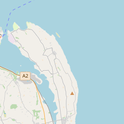
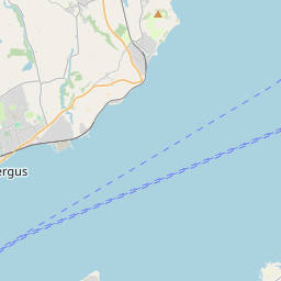
Based on data in OpenStreetMap, here is a list of townlands in the Electoral Division / ED / District Electoral Division of Island Magee.
Island Magee is in Co.
Island Magee is not matched up to Logainm.ie yet.
Léarscáil
It is located at 54° 48' 54" N, 5° 43' 39" W.


Leaflet | Map data © OpenStreetMap contributors
Achar
Island Magee has an area of 28.9 km² / 7,145.6 acres / 11.2 square miles.
Ceannbhailte
There are 25 townlands that we know about in . This represents 100% of all the area in .
- Baile Lugha 371 A, 0 R, 12 P
- Ballycronan Beg 212 A, 2 R, 14 P
- Ballycronan More 364 A, 0 R, 31 P
- Ballydown 190 A, 0 R, 31 P
- Ballyharry 206 A, 1 R, 17 P
- Ballykeel 388 A, 0 R, 21 P
- Baile an Longfoirt 281 A, 0 R, 12 P
- Baile Muine 333 A, 1 R, 38 P
- Ballymuldrogh 168 A, 0 R, 0 P
- Ballyprior Beg 405 A, 2 R, 22 P
- Ballyprior More 252 A, 0 R, 2 P
- Baile Strudair 268 A, 2 R, 14 P
- Ballytober 250 A, 3 R, 18 P
- Carnspindle 245 A, 0 R, 32 P
- Castletown 360 A, 0 R, 3 P
- Cloughfin 362 A, 2 R, 37 P
- Drumgurland 199 A, 3 R, 38 P
- Dundressan 149 A, 1 R, 22 P
- Gransha 618 A, 3 R, 12 P
- Kilcoan Beg 182 A, 3 R, 16 P
- Kilcoan More 338 A, 1 R, 27 P
- Mullaghboy 252 A, 0 R, 12 P
- Mullaghdoo 292 A, 1 R, 13 P
- Port Muc 242 A, 1 R, 25 P
- Temple-Effin 209 A, 0 R, 22 P
 OpenStreetMap
Island Magee was added to OpenStreetMap on 28 Feabh 2021 by b-unicycling.
- View
- Edit

 JOSM
JOSM iD
iD